Near Davenport in Santa Cruz County, California — The American West (Pacific Coastal)
Don Gaspar de Portolá
Cañada de la Salud
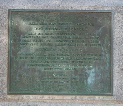
Near this spot, October 20-23, 1769, Don Gaspar de Portolá and his land expedition, seeking Monterey Bay, camped for three days to rest those sick. Because of their rapid recovery, Father Crespi named the valley Cañada de la Salud.
On December 10, 1774 Father Paloú, returning from the exploration of San Francisco Bay, paused here to offer prayers of thanksgiving for miracle of restored health.
Erected 1941 by Daughters of the American Revolution, California State Society.
Topics and series. This historical marker is listed in this topic list: Exploration. In addition, it is included in the Daughters of the American Revolution, and the Portolá Expedition series lists. A significant historical month for this entry is October 1905.
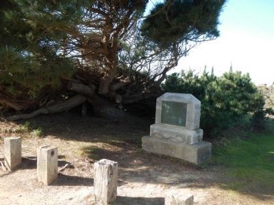
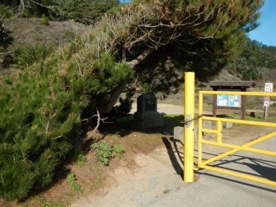
Location. 37° 5.811′ N, 122° 16.708′ W. Marker is near Davenport, California, in Santa Cruz County. Marker can be reached from Cabrillo Highway, on the right when traveling north. This marker is located near the north side of the Waddell Creek Bridge, at the Big Basin State Park trailhead across from the Waddell Creek Beach parking lot. Touch for map. Marker is at or near this postal address: 3624 Cabrillo Highway, Davenport CA 95017, United States of America. Touch for directions.
Other nearby markers. At least 8 other markers are within 7 miles of this marker, measured as the crow flies. Dickerman-Steele House (approx. 2.2 miles away); Steele Brothers' Dairy Ranches (approx. 2.2 miles away); Steele Ranch (approx. 2.2 miles away); Swanton (approx. 3½ miles away); Big Creek Light and Power Company (approx. 3½ miles away); Swanton Pacific Ranch (approx. 3.7 miles away); Washout 1997 to 2001 (approx. 3.7 miles away); The First State Park (approx. 7 miles away). Touch for a list and map of all markers in Davenport.
Credits. This page was last revised on March 5, 2023. It was originally submitted on January 6, 2013, by Barry Swackhamer of Brentwood, California. This page has been viewed 663 times since then and 21 times this year. Photos: 1, 2, 3. submitted on January 6, 2013, by Barry Swackhamer of Brentwood, California. • Syd Whittle was the editor who published this page.


