Near Kennesaw in Cobb County, Georgia — The American South (South Atlantic)
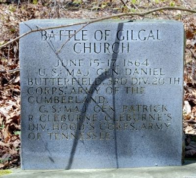
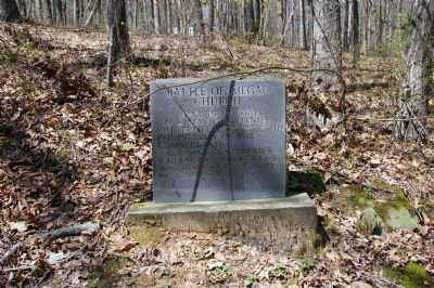
Battle of Gilgal Church
U.S.: Maj. Gen. Daniel Butterfield. 3rd Div. 20th Corps. Army of the Cumberland.
C.S.: Maj. Gen. Patrick R Cleburne. Cleburne’s Div. Hood’s Corps. Army of Tennessee.
Topics. This historical marker is listed in this topic list: War, US Civil. A significant historical date for this entry is June 15, 1864.
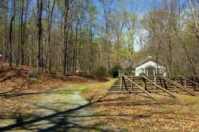
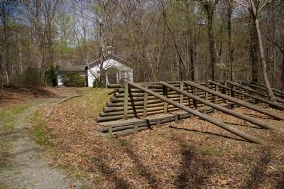
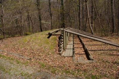
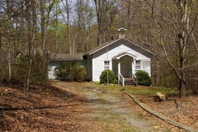
Location. 33° 58.225′ N, 84° 39.826′ W. Marker is near Kennesaw, Georgia, in Cobb County. Marker is on Kennesaw Kue West Road NW, 0.2 miles east of Due West Road, on the right when traveling west. Marker stands in front of the relocated 1880s Kennesaw Due West School, opposite the reconstructed trench works. The school house was relocated to this site in the 1980s. Touch for map. Marker is at or near this postal address: 667 Kennesaw Due West Road NW, Kennesaw GA 30152, United States of America. Touch for directions.
Other nearby markers. At least 8 other markers are within 2 miles of this marker, measured as the crow flies. Due West Community (within shouting distance of this marker); Military Action at Gilgal Church (approx. 0.3 miles away); Site of the Dickson House (approx. half a mile away); The Reversed Trench (approx. 0.6 miles away); Battle of Pine Knob (approx. ¾ mile away); Green Plantation (approx. 1.3 miles away); Captain Peter Simonson (approx. 1.3 miles away); Old Sandtown Road (approx. 1.3 miles away).
Photographed By David Seibert, April 4, 2009
6. Kennesaw Due West School
Gilgal Church stood about 1/10 mile east at the time of the battle. The original log church was dismantled by the Confederate forces, with the logs used to construct defensive positions.
This structure is actually the 1880s-vintage Kennesaw Due West School, which was relocated to this site in the 1980s. The Atlanta History Center is the sole trustee of the Kerksis Trust, which owns this property. --Jackson McQuigg Vice President of Properties Atlanta History Center
This structure is actually the 1880s-vintage Kennesaw Due West School, which was relocated to this site in the 1980s. The Atlanta History Center is the sole trustee of the Kerksis Trust, which owns this property. --Jackson McQuigg Vice President of Properties Atlanta History Center
Credits. This page was last revised on May 7, 2020. It was originally submitted on April 5, 2009, by David Seibert of Sandy Springs, Georgia. This page has been viewed 3,873 times since then and 68 times this year. Last updated on January 10, 2013, by Jackson McQuigg, Atlanta History Center of Atlanta, Georgia. Photos: 1, 2, 3, 4, 5, 6. submitted on April 5, 2009, by David Seibert of Sandy Springs, Georgia. • Bill Pfingsten was the editor who published this page.
