Montclair in Essex County, New Jersey — The American Northeast (Mid-Atlantic)
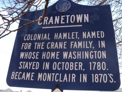
Cranetown
Erected 1964 by State of New Jersey.
Topics and series. This historical marker is listed in these topic lists: Notable Places • War, US Revolutionary. In addition, it is included in the Former U.S. Presidents: #01 George Washington, and the George Washington Slept Here series lists. A significant historical month for this entry is October 1780.
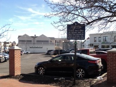
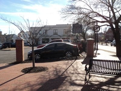
Location. 40° 48.984′ N, 74° 13.27′ W. Marker is in Montclair, New Jersey, in Essex County. Marker is at the intersection of Bloomfield Avenue (County Route 506) and Valley Road, on the left when traveling west on Bloomfield Avenue. Touch for map. Marker is in this post office area: Montclair NJ 07042, United States of America. Touch for directions.
Other nearby markers. At least 8 other markers are within walking distance of this marker. 647 Bloomfield Avenue (within shouting distance of this marker); First Primary School (about 400 feet away, measured in a direct line); Hillside School War Memorial (about 700 feet away); 45 Church Street Plaza (approx. 0.2 miles away); 40-46 Church Street (approx. 0.2 miles away); Hampton House (approx. ¼ mile away); Washington’s Temporary Headquarters (approx. ¼ mile away); The Crane Building (approx. 0.3 miles away). Touch for a list and map of all markers in Montclair.
Credits. This page was last revised on August 6, 2020. It was originally submitted on January 10, 2013, by Bill Coughlin of Woodland Park, New Jersey. This page has been viewed 1,031 times since then and 119 times this year. Photos: 1, 2, 3. submitted on January 10, 2013, by Bill Coughlin of Woodland Park, New Jersey.


