Monterey in Monterey County, California — The American West (Pacific Coastal)
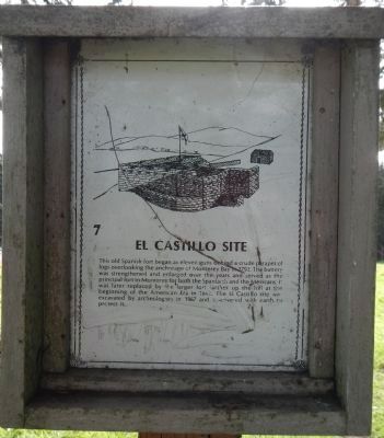
El Castillo Site
Topics. This historical marker is listed in these topic lists: Forts and Castles • Military. A significant historical year for this entry is 1972.
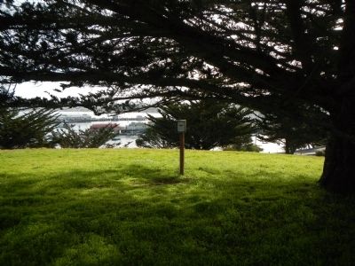
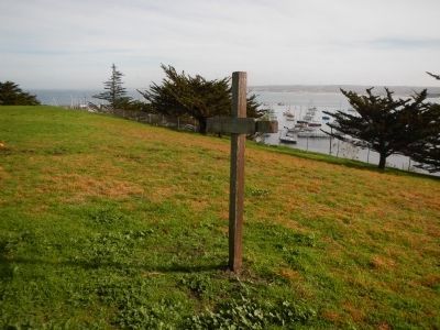
Location. 36° 36.364′ N, 121° 53.719′ W. Marker is in Monterey, California, in Monterey County. Marker can be reached from Corporal Ewing Road. This marker is located in the Presidio de Monterey to the east of Corporal Ewing Road on a small knoll overlooking Monterey Bay. Touch for map. Marker is in this post office area: Monterey CA 93944, United States of America. Touch for directions.
Other nearby markers. At least 8 other markers are within walking distance of this marker. Here ... landed Very Rev. Father Junipero Serra (a few steps from this marker); The Argentine Navy (within shouting distance of this marker); El Castillo de Monterey (within shouting distance of this marker); Presidio of Monterey Museum (about 500 feet away, measured in a direct line); 400th Anniversary of the Naming of Monterey Bay by Gen. Sebastián Vizcaíno (about 600 feet away); Don Gaspar de Portolá (about 600 feet away); Crescent Brand Sardine Company (about 700 feet away); Whaling Station (about 800 feet away). Touch for a list and map of all markers in Monterey.
Credits. This page was last revised on October 13, 2020. It was originally submitted on February 8, 2013, by Barry Swackhamer of Brentwood, California. This page has been viewed 640 times since then and 21 times this year. Photos: 1, 2, 3. submitted on February 8, 2013, by Barry Swackhamer of Brentwood, California. • Syd Whittle was the editor who published this page.


