Rocky Mount in Franklin County, Virginia — The American South (Mid-Atlantic)
Ferrum College
Photographed by Bill Coughlin, February 4, 2013
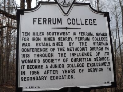
1. Ferrum College Marker
Ten miles southwest is Ferrum, named for iron mines nearby. Ferrum College was established by the Virginia Conference of the Methodist Church in 1913 through the influence of its Woman’s Society of Christian Service. It became a junior college exclusively in 1955 after years of service in secondary education.
Erected 1968 by State of Virginia.
Topics. This historical marker is listed in this topic list: Education. A significant historical year for this entry is 1913.
Location. 37° 3.166′ N, 79° 52.95′ W. Marker is in Rocky Mount, Virginia, in Franklin County. It is on Virgil H. Goode Hwy. (U.S. 220) south of Virginia Route 635, on the right when traveling south. Touch for map. Marker is in this post office area: Rocky Mount VA 24151, United States of America. Touch for directions.

Regionally, this marker is in Southern Virginia. It is also in the American South and specifically in the Upper South. Globally, it is in North America, the Western Hemisphere, the Western World, and the Anglosphere. Historically, it finds itself in what was once the territory of the Mississippian Culture, one of the original Thirteen
this page online
Other nearby markers. At least 8 other markers are within 4 miles of this marker, measured as the crow flies: Carolina Road (here, next to this marker); Fort Blackwater (here, next to this marker); Franklin County (approx. 3.6 miles away); Norfolk and Western Caboose (approx. 3.6 miles away); United States Colored Troops Memorial (approx. 3.7 miles away); Carter Bank & Trust (approx. 3.9 miles away); Franklin County Confederate Monument (approx. 4 miles away); Rocky Mount (approx. 4 miles away). Touch for a list and map of all markers in Rocky Mount.
Photographed by Bill Coughlin, February 4, 2013
2. Ferrum College Marker
Photographed by Bill Coughlin, February 4, 2013
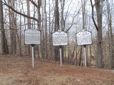
3. Ferrum College and Other Markers
Three markers are found at this pulloff. The Ferrum College marker is the middle of these.
Photographed by Bill Coughlin, February 4, 2013
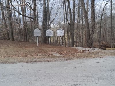
4. Markers on Route 220
Credits. This page was last revised on September 2, 2017. It was originally submitted on February 10, 2013, by Bill Coughlin of Woodland Park, New Jersey. This page has been viewed 855 times since then and 34 times this year. Photos: 1, 2, 3, 4. submitted on February 10, 2013, by Bill Coughlin of Woodland Park, New Jersey.
