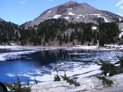
Near Shingletown in Shasta County, California — The American West (Pacific Coastal)
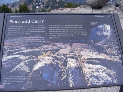
Pluck and Carry
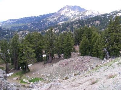
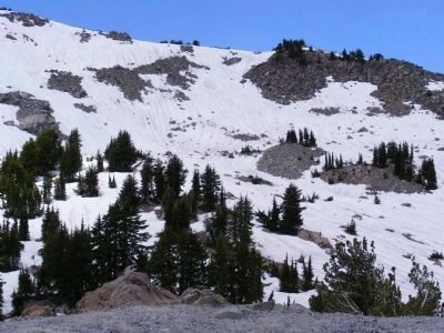
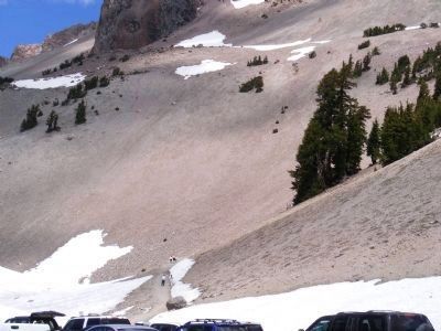
Notice the smooth surface of the rock at your feet. This rock was worn by the friction of a glacier that moved over it about 18,000 years ago. The lone boulder, which is of a younger rock type than the surface rock, was carried and dropped here by the same glacier. As the glacier formed and flowed from Bumpass Mountain behind you, it plucked the boulder from the mountain’s side and engulfed the rock into the ice mass. Gravity moved the ice mass downslope over the surface rock. By the time the boulder reached this location, the glacier melted and set the rock at rest here.
The scratched and polished appearance of the surface rocks at the edge of the parking lot attest to the action of glaciers. The direction of the scratches indicate the path the ice mass followed.
Erected by National Park Service.
Topics. This historical marker is listed in this topic list: Environment.
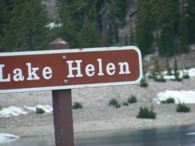
Location. 40° 28.002′ N, 121° 30.516′ W. Marker is near Shingletown, California, in Shasta County. Marker is on Lassen Peak Highway (State Highway 89). Marker is located within the boundaries of Lassen Volcanic National Park at the turn-out at Lake Helen. Touch for map. Marker is in this post office area: Shingletown CA 96088, United States of America. Touch for directions.
Other nearby markers. At least 8 other markers are within 7 miles of this marker, measured as the crow flies. Bumpass’s Hell (approx. 0.4 miles away); A Scenic Boulevard (approx. 0.9 miles away); Cinder Cone Volcano and the Fantastic Lava Beds (approx. 1.9 miles away); A Night to Remember / Three Days Later (approx. 4.1 miles away); Hot Rock (approx. 4.1 miles away); Loomis Legacy (approx. 5.6 miles away); Stephen Tyng Mather (approx. 5.6 miles away); Nobles' Emigrant Trail (approx. 6.4 miles away). Touch for a list and map of all markers in Shingletown.
Credits. This page was last revised on June 16, 2016. It was originally submitted on February 15, 2013, by Don Morfe of Baltimore, Maryland. This page has been viewed 799 times since then and 34 times this year. Photos: 1, 2, 3, 4, 5, 6, 7, 8, 9. submitted on February 15, 2013, by Don Morfe of Baltimore, Maryland. • Syd Whittle was the editor who published this page.
Editor’s want-list for this marker. Wide area view of the marker and its surroundings. • Can you help?
