Presidio of San Francisco in San Francisco City and County, California — The American West (Pacific Coastal)
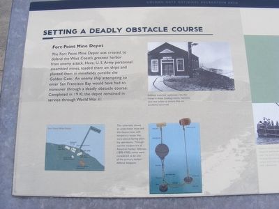
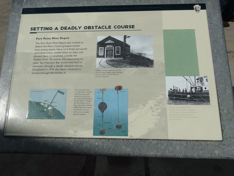
Setting A Deadly Obstacle Course
Fort Point Mine Depot
Photographed by Don Morfe, July 7, 2009
1. Setting A Deadly Obstacle Course Marker
Photo captions:
Left: This schematic shows an underwater mine and distribution box, with buoys that were placed during planting operations. Throughout the modern era of American harbor defenses (1890-1950), mines were considered to be one of the primary harbor defense weapons.
Middle: Soldiers inserted explosives into the mines in these loading rooms, Extreme care was taken to ensure that no accidents occurred.
Right: Defense of the Golden Gate required extraordinary measures over the years. During World War II, strategically placed underwater mines deterred enemy surface ships and submarines.
Left: This schematic shows an underwater mine and distribution box, with buoys that were placed during planting operations. Throughout the modern era of American harbor defenses (1890-1950), mines were considered to be one of the primary harbor defense weapons.
Middle: Soldiers inserted explosives into the mines in these loading rooms, Extreme care was taken to ensure that no accidents occurred.
Right: Defense of the Golden Gate required extraordinary measures over the years. During World War II, strategically placed underwater mines deterred enemy surface ships and submarines.
Erected by National Park Service.
Topics. This historical marker is listed in these topic lists: War, World I • War, World II. A significant historical year for this entry is 1910.
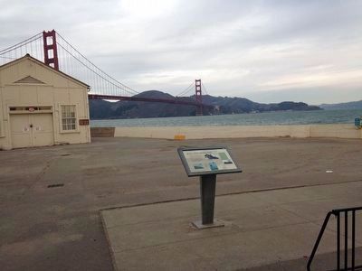
Location. 37° 48.51′ N, 122° 28.236′ W. Marker is in San Francisco, California, in San Francisco City and County. It is in Presidio of San Francisco. It can be reached from San Francisco Bay Trail near Marine Drive. The marker is located on Crissy Field at the entrance to the Torpedo Wharf. Touch for map. Marker is in this post office area: San Francisco CA 94129, United States of America. Touch for directions.

Regionally, this marker is on the Coast Ranges. It is also on the American Pacific Coast. Globally, it is in North America,
this page online
Other nearby markers. At least 8 other markers are within walking distance of this marker: Crissy Field (a few steps from this marker); Fort Point National Historic Site (about 400 feet away, measured in a direct line); Resisting the Twisting (approx. 0.2 miles away); The Era of Earthworks Batteries (approx. 0.2 miles away); The Golden Gate Bridge (approx. ¼ mile away); Men of Vision (approx. ¼ mile away); Joseph Strauss Legacy Circle (approx. ¼ mile away); Types of Bridges (approx. ¼ mile away). Touch for a list and map of all markers in San Francisco.
Photographed by Jo Solorzano
2. Setting A Deadly Obstacle Course Marker
Photographed by Don Morfe, July 7, 2009
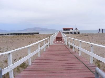
3. Distant photo of one of the buildings of the Fort Point Mine Depot
Photographed by Don Morfe, July 7, 2009
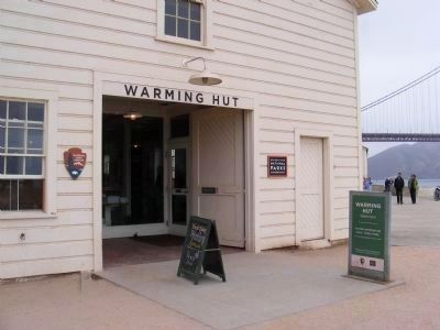
4. The Warming Hut
In this building the U.S. Army personnel assembled mines during World Wars I and II.
Photographed by Denise Boose, October 15, 2016
5. Setting A Deadly Obstacle Course Marker
Credits. This page was last revised on February 7, 2023. It was originally submitted on February 18, 2013, by Don Morfe of Baltimore, Maryland. This page has been viewed 910 times since then and 25 times this year. Photos: 1. submitted on February 18, 2013, by Don Morfe of Baltimore, Maryland. 2. submitted on December 1, 2015, by Jo Solorzano of San Francisco, California. 3. submitted on February 18, 2013, by Don Morfe of Baltimore, Maryland. 4. submitted on March 14, 2013, by Don Morfe of Baltimore, Maryland. 5. submitted on March 27, 2017, by Denise Boose of Tehachapi, California. • Syd Whittle was the editor who published this page.
