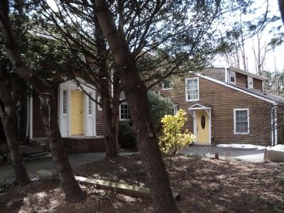
Scotch Plains in Union County, New Jersey — The American Northeast (Mid-Atlantic)
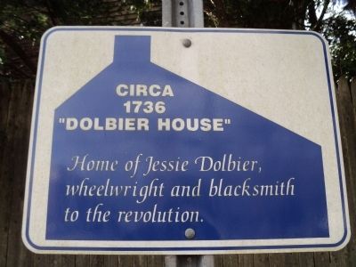
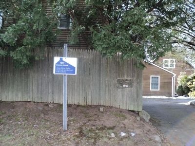
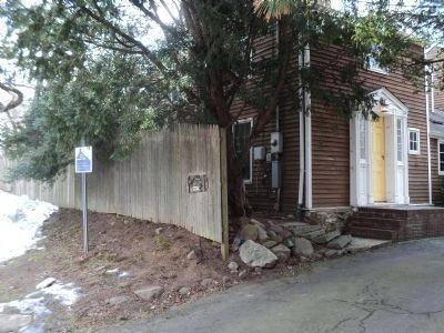
“Dolbier House”
Circa 1736
Topics. This historical marker is listed in these topic lists: Colonial Era • War, US Revolutionary.
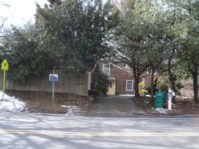
Location. 40° 37.636′ N, 74° 22.736′ W. Marker is in Scotch Plains, New Jersey, in Union County. Marker is on Terrill Road west of Kevin Road, on the right when traveling east. Touch for map. Marker is at or near this postal address: 1230 Terrill Road, Scotch Plains NJ 07076, United States of America. Touch for directions.
Other nearby markers. At least 8 other markers are within 2 miles of this marker, measured as the crow flies. Frazee Homestead (approx. one mile away); “Terry Well” (approx. 1.2 miles away); “Littell Half Way House” (approx. 1.3 miles away); Cannon Ball House (approx. 1.9 miles away); Stage House Inn (approx. 1.9 miles away); Swift Sure Stage Line (approx. 1.9 miles away); “Osborn House” (approx. 2 miles away); Patriots and Soldiers of the American Revolution (approx. 2 miles away). Touch for a list and map of all markers in Scotch Plains.
Credits. This page was last revised on June 16, 2016. It was originally submitted on February 20, 2013, by Bill Coughlin of Woodland Park, New Jersey. This page has been viewed 617 times since then and 24 times this year. Photos: 1, 2, 3, 4, 5. submitted on February 20, 2013, by Bill Coughlin of Woodland Park, New Jersey.
