West Point in Orange County, New York — The American Northeast (Mid-Atlantic)
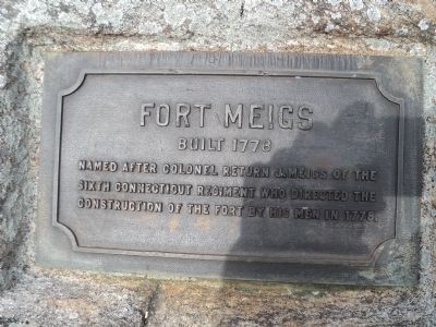
Fort Meigs
Built 1778
Photographed by Bill Coughlin, March 28, 2013
1. Fort Meigs Marker
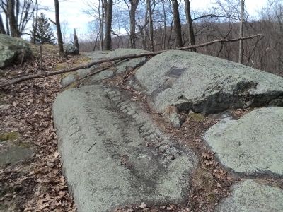
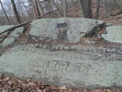
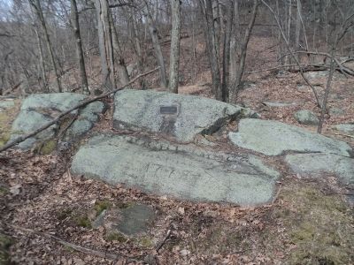
Named after Colonel Return J. Meigs of the Sixth Connecticut Regiment who directed the construction of the fort by his men in 1778.
Topics. This historical marker is listed in these topic lists: Forts and Castles • War, US Revolutionary. A significant historical year for this entry is 1778.
Location. 41° 23.069′ N, 73° 57.532′ W. Marker is in West Point, New York, in Orange County. It can be reached from Schofield Place, on the right when traveling south. Marker is located on the grounds of the U.S. Military Academy. Touch for map. Marker is in this post office area: West Point NY 10996, United States of America. Touch for directions.

Regionally, this marker is in Upstate New York and in the Hudson Valley. It is also in the American Northeast, in the Mid-Atlantic, and on the Eastern Seaboard. Globally, it is in the North Atlantic Region, North America, the Western Hemisphere, the Western World, and the Anglosphere. Historically, it finds itself in what was once New Netherland and also one of the original Thirteen Colonies.
Other nearby markers. At least 8 other markers are within walking distance of this
this page online
Photographed by Bill Coughlin, March 28, 2013
2. Fort Meigs Marker
Photographed by Bill Coughlin, March 28, 2013
3. Fort Meigs Marker
Photographed by Bill Coughlin, March 28, 2013
4. Fort Meigs Marker
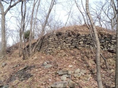
Photographed by Bill Coughlin, March 28, 2013
5. Fort Meigs
Fort Meigs was one of three forts built at West Point by Connecticut regiments during the Revolutionary War. Located on high ground east of Fort Putnam, this fort covered a low ground approach to Fort Arnold, which was located on the banks of the Hudson River, as well as the low ground around Fort Putnam.
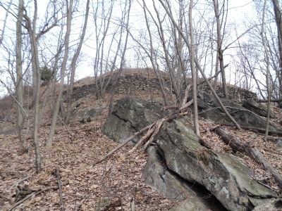
Photographed by Bill Coughlin, March 28, 2013
6. Fort Meigs at West Point
Credits. This page was last revised on June 16, 2016. It was originally submitted on March 28, 2013, by Bill Coughlin of Woodland Park, New Jersey. This page has been viewed 1,167 times since then and 83 times this year. Photos: 1, 2, 3, 4, 5, 6. submitted on March 28, 2013, by Bill Coughlin of Woodland Park, New Jersey.
