Amissville in Rappahannock County, Virginia — The American South (Mid-Atlantic)
Corbin's Crossroads
Stuart's Close Shave
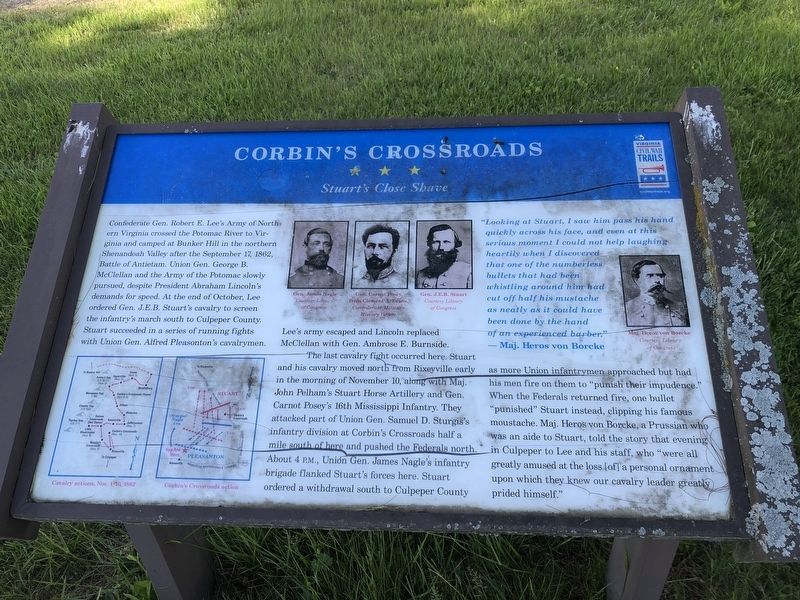
Confederate Gen. Robert E. Leeís Army of Northern Virginia crossed the Potomac River to Virginia and camped at Bunker Hill in the northern Shenandoah Valley after the September 17, 1862, Battle of Antietam. Union Gen. George B. McClellan and the Army of the Potomac slowly pursued, despite President Abraham Lincolnís demands for speed. At the end of October, Lee ordered Gen. J.E.B. Stuartís cavalry to screen the infantryís march south to Culpeper County. Stuart succeeded in a series of running fights with Union Gen. Alfred Pleasontonís cavalrymen. Leeís army escaped and Lincoln replaced McClellan with Gen. Ambrose E. Burnside.
The last cavalry fight occurred here. Stuart and his cavalry moved north from Rixeyville early in the morning of November 10, along with Maj. John Pelhamís Stuart Horse Artillery and Gen. Carnot Poseyís 16th Mississippi Infantry. They attacked part of Union Gen. Samuel D. Sturgisís infantry division at Corbinís Crossroads half a mile south of here and pushed the Federals north. About 4 P.M., Union Gen. James Nagleís infantry brigade flanked Stuartís forces here. Stuart ordered a withdrawal south to Culpeper County as more Union infantrymen approached but had his men fire on them to “punish their impudence.” When the Federals returned fire, one bullet “punished” Stuart instead, clipping his famous moustache. Maj. Heros von Borcke, a Prussian who was an aide to Stuart, told the story that evening in Culpeper to Lee and his staff, who “were all greatly amused at the loss [of] a personal ornament upon which they knew our cavalry leader greatly prided himself.”
“Looking at Stuart, I saw him pass his hand quickly across his face, and even at this serious moment I could not help laughing heartily when I discovered that one of the numberless bullets that had been whistling around him had cut off half his mustache as neatly as it could have been done by the hand of an experienced barber.” — Maj. Heros von Borcke
Erected by Virginia Civil War Trails.
Topics and series. This historical marker is listed in this topic list: War, US Civil. In addition, it is included in the Virginia Civil War Trails series list. A significant historical month for this entry is September 1863.
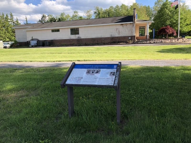
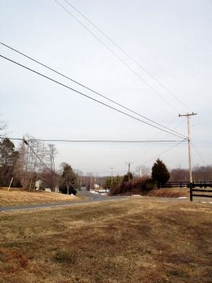
Location. 38° 40.124′ N, 77° 59.758′ W. Marker is in Amissville, Virginia, in Rappahannock County. Marker is on Viewtown Road (County Route 642), on the left when traveling south. Marker is located at the Amissville Baptist Church. Touch for map. Marker is at or near this postal address: 776 Viewtown Road, Amissville VA 20106, United States of America. Touch for directions.
Other nearby markers. At least 8 other markers are within 5 miles of

Photographed By Devry Becker Jones (CC0), May 8, 2021
2. Corbin's Crossroads Marker
The marker has significantly weathered.
More about this marker. The lower left of the marker has two maps captioned Cavalry Actions, Nov. 1-10, 1862 and Corbin's Crossroads action. The upper middle and right of the marker features portraits of Gen. James Nagle, Gen. Carnot Posey, Gen. J.E.B. Stuart and Maj. Heros von Borcke.
Also see . . .
1. Official Records of the Union and Confederate Armies. Brig. Gen. Alfred Pleasonton's reports from Corbin's Cross-Roads, Nov. 10, 1862. (Submitted on January 16, 2010.)
2. Official Records of the Union and Confederate Armies. Report of Gen. Robert E. Lee, C.S. Army, of action at Corbin's Cross-Roads, near Amissville. November 10, 1862. (Submitted on January 16, 2010.)
3. Official Records of the Union and Confederate Armies. Report of Col. Thomas L. Rosser, Fifth Virginia Cavalry, commanding Lee's brigade, of action at Corbin's Cross-Roads, near Amissville. November 13, 1862. (Submitted on January 16, 2010.)
Credits. This page was last revised on May 10, 2021. It was originally submitted on January 16, 2010. This page has been viewed 2,055 times since then and 52 times this year. Last updated on April 14, 2013. Photos: 1. submitted on January 16, 2010. 2, 3. submitted on May 10, 2021, by Devry Becker Jones of Washington, District of Columbia. 4. submitted on January 16, 2010. • Craig Swain was the editor who published this page.


