White Pigeon in St. Joseph County, Michigan — The American Midwest (Great Lakes)
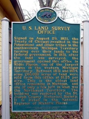
U.S. Land Survey Office
Photographed by Duane Hall, November 19, 2012
1. U.S. Land Survey Office Marker
Erected 1999 by Michigan Historical Center, Michigan Department of State. (Marker Number L1205.)
Topics and series. This historical marker is listed in this topic list: Settlements & Settlers. In addition, it is included in the Michigan Historical Commission series list. A significant historical year for this entry is 1821.
Location. 41° 47.879′ N, 85° 38.635′ W. Marker is in White Pigeon, Michigan, in St. Joseph County. It is at the intersection of West Chicago
this page online

Regionally, this marker is in Southwest Michigan. It is also in the American Midwest. Globally, it is in North America, the Western Hemisphere, the Western World, and the Anglosphere. Historically, it finds itself in what was once the Northwest Territory.
Other nearby markers. At least 8 other markers are within 4 miles of this marker, measured as the crow flies: Conveying Michigan (here, next to this marker); Chief Wahbememe Burial Site (approx. one mile away); In Memory of Wahbememe (approx. one mile away); White Pigeon Fallen Soldiers Memorial (approx. one mile away); Harry H. Bandholtz (approx. 3 miles away); Constantine Tribute to Veterans of All Wars (approx. 3 miles away); Constantine Civil War Monument (approx. 3 miles away); Heywood House (approx. 3.2 miles away). Touch for a list and map of all markers in White Pigeon.
Photographed by Duane Hall, November 19, 2012
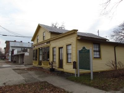
2. U.S. Land Survey Office
Photographed by Duane Hall, November 1, 2012
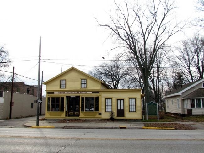
3. U.S. Land Survey Office
Photographed by J.T. Lambrou, April 14, 2023
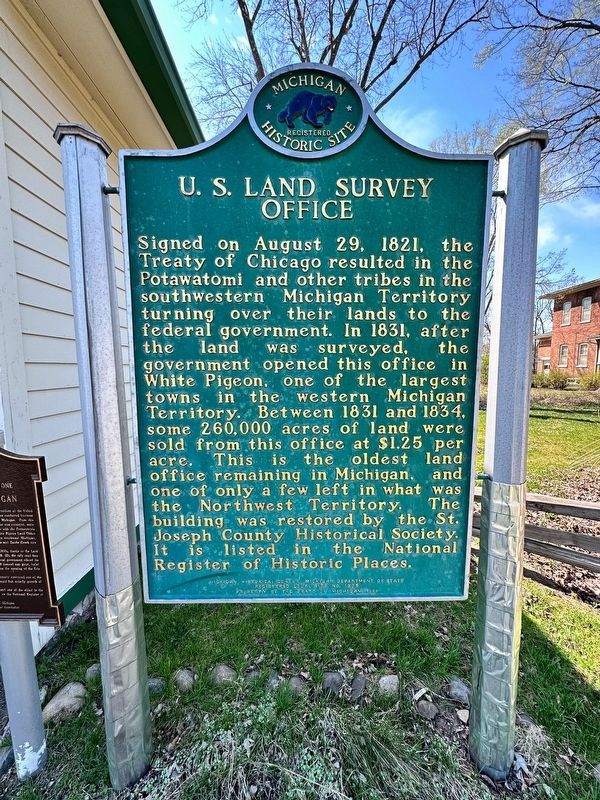
4. U.S. Land Survey Office Marker
Photographed by J.T. Lambrou, April 14, 2023
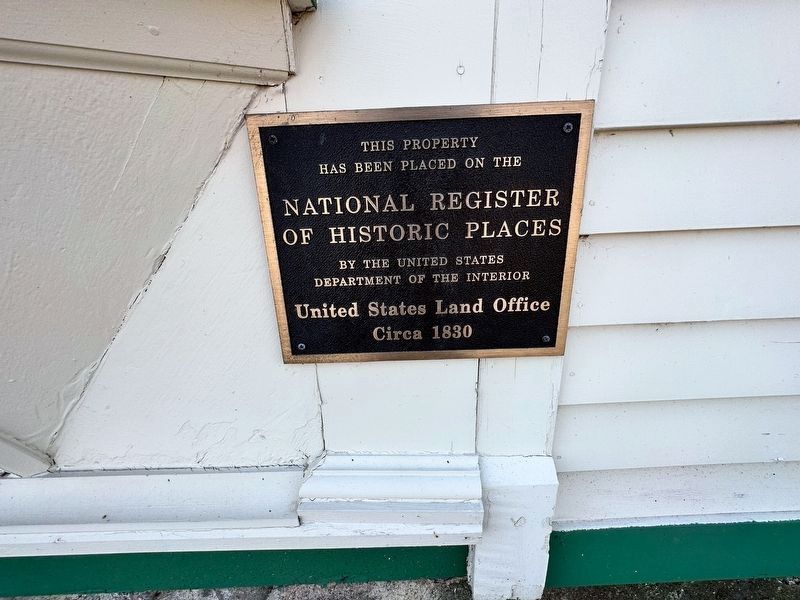
5. U.S. Land Office National Register of Historic Places Tablet
Credits. This page was last revised on May 7, 2023. It was originally submitted on December 10, 2012, by Duane Hall of Abilene, Texas. This page has been viewed 1,004 times since then and 59 times this year. Last updated on April 19, 2013, by Duane Hall of Abilene, Texas. Photos: 1, 2, 3. submitted on December 10, 2012, by Duane Hall of Abilene, Texas. 4, 5. submitted on May 5, 2023, by J.T. Lambrou of New Boston, Michigan. • Bernard Fisher was the editor who published this page.
