Springfield in Fairfax County, Virginia — The American South (Mid-Atlantic)
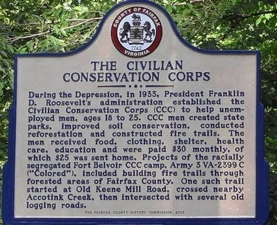
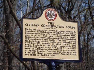
The Civilian Conservation Corps
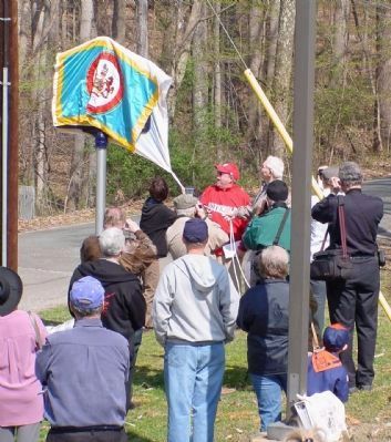
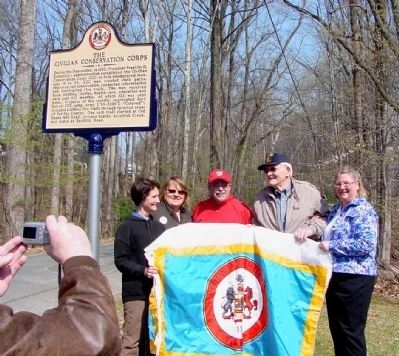
Erected 2008 by The Fairfax County History Commission. Dedicated on April 5th.
Topics and series. This historical marker is listed in this topic list: Charity & Public Work. In addition, it is included in the Civilian Conservation Corps (CCC), and the Virginia, Fairfax County History Commission series lists. A significant historical year for this entry is 1933.
Location. 38° 47.394′ N, 77° 12.726′ W. Marker is in Springfield, Virginia, in Fairfax County. Marker is on Accotink Park Road near Southern Drive, on the left when traveling west. From Backlick Road (County Route 617), take Highland Street west to Accotink Park Road on the right. Accotink Park Road jogs to the left (follow the signs to the park) while Southern Drive continues straight ahead. Touch for map. Marker is at or near this postal address: 7500 Accotink Park Rd, Springfield VA 22150, United States of America. Touch for directions.
Other nearby markers. At least 8 other markers are within 3 miles of this marker, measured as the crow flies. Orange and Alexandria Railroad (approx. 0.4 miles away); a different marker also named Orange and Alexandria Railroad (approx. 0.4 miles away); Connecting Communities and Parks (approx. 0.4 miles away); Ravensworth (approx. 1.4 miles away); a different marker also named Ravensworth (approx. 1½ miles away); Springfield Station (approx. 1½ miles away); Price’s Ordinary (approx. 2.1 miles away); Keene’s Mill (approx. 2.3 miles away). Touch for a list and map of all markers in Springfield.
More about this marker. Mary Lipsey, a Fairfax County History Commissioner, did the research and led the efforts to erect this marker. D. E. (Bill) Sheads walked the fire trail mentioned in this marker—which included a wooden bridge nearby, called the New Bridge—as a teenager. His father harvested timber and owned a steam-powered sawmill nearby. Mr. Sheads provided invaluable oral history and assisted in locating portions of the trail for the project.
Also see . . . The CCC Road (PDF)
. Essay by Bill Sheads on the A Look Back at Braddock District website. “There were two bridges on this road between Old Keene Mill Road and the railroad, one over Accotink Creek and the other over Rocky Branch. The Accotink bridge was approximately fifty to sixty feet long and ten feet wide, with high overhead wood supports. The Rocky Branch bridge was a smaller flat bridge about sixteen feet long. Most of the heavy timber beams and lumber for the bridges were purchased from the Sheads mill which was located in the area.” (Submitted on April 5, 2008.)
Credits. This page was last revised on March 18, 2023. It was originally submitted on April 5, 2008, by J. J. Prats of Powell, Ohio. This page has been viewed 3,161 times since then and 162 times this year. Last updated on January 23, 2022, by Cheryl-Ann Repetti of Centreville, Virginia. Photos: 1. submitted on January 23, 2022. 2, 3, 4. submitted on April 5, 2008, by J. J. Prats of Powell, Ohio. • J. Makali Bruton was the editor who published this page.


