Near Aldie in Loudoun County, Virginia — The American South (Mid-Atlantic)
Loudoun County / Prince William County
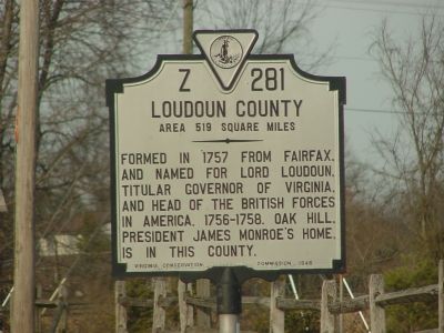
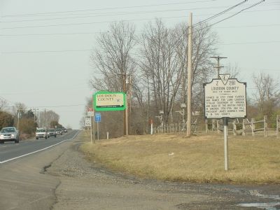
Loudoun County. Area 519 Square Miles. Formed in 1757 from Fairfax and named for Lord Loudoun, titular governor of Virginia and head of the British forces in America, 1756-1758. Oak Hill, President James Monroe's home, is in this County.
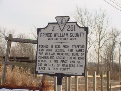
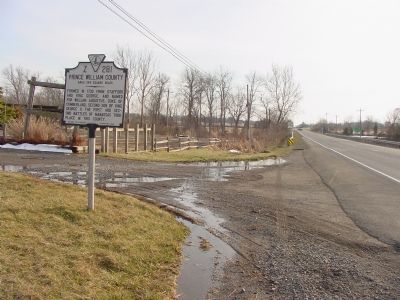
Prince William County. Area 345 Square Miles. Formed in 1730 from Stafford and King George, and named for William Augustus, Duke of Cumberland, second son of King George II. The First and Second battles of Manassas took place in this county.
Erected 1946 by Virginia Conservation Commission. (Marker Number Z-281.)
Topics and series. This historical marker is listed in this topic list: Political Subdivisions. In addition, it is included in the Former U.S. Presidents: #05 James Monroe, and the Virginia Department of Historic Resources (DHR) series lists. A significant historical year for this entry is 1757.
Location. 38° 55.967′ N, 77° 37.487′ W. Marker is near Aldie, Virginia, in Loudoun County. Marker is on James Monroe Highway (U.S. 15) south of New Road, on the right when traveling north. U.S. 15 changes name at the county line. In Prince William County is is called James Madison Highway. Touch for map. Marker is at or near this postal address: 24778 James Monroe Hwy, Aldie VA 20105, United States of America. Touch for directions.
Other nearby markers. At least 8 other markers are within 3 miles of this marker, measured as the crow flies. Ambush at Ewell’s Chapel (approx. 1.4 miles away); Fair Oaks (approx. 2.1 miles away); Plain Path…Shenandoah Hunting Path…Carolina Road…Rogue’s Road… (approx. 2.3 miles away); Mt. Zion Cemetery (approx. 2.3 miles away); The Mosby-Forbes Engagement July 6, 1864 (approx. 2.3 miles away); The Fog of War (approx. 2.3 miles away); Mt. Zion Historic Park (approx. 2.3 miles away); Elders of the Mount Zion Old School Baptist Church (approx. 2.3 miles away). Touch for a list and map of all markers in Aldie.
Also see . . .
1. Prince William County. A brief history, with a map of Virginia's counties. (Submitted on February 16, 2006.)
2. History of Loudoun County, Virginia. (Submitted on February 16, 2006.)
Credits. This page was last revised on July 7, 2021. It was originally submitted on February 16, 2006, by J. J. Prats of Powell, Ohio. This page has been viewed 1,801 times since then and 43 times this year. Last updated on April 20, 2013, by Richard E. Miller of Oxon Hill, Maryland. Photos: 1, 2, 3, 4. submitted on February 16, 2006, by J. J. Prats of Powell, Ohio. • Bill Pfingsten was the editor who published this page.


