Yorktown in York County, Virginia — The American South (Mid-Atlantic)
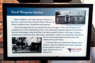
Naval Weapons Station
When the 20-square-mile site was acquired by the Navy on August 7, 1918, it was the largest naval installation in the world. Commissioned as the U.S. Navy Mine Depot, operations supported the World War I North Sea Mine Barrage. During World War II, the Depot continued to produce a wide range of ordnance materials such as underwater mines, depth charges, and torpedoes. Activities were reduced after World War II, but were soon increased again to meet the needs of the conflicts in Korea and Vietnam.
In 1958, the Depot was renamed Naval Weapons Station Yorktown. Today, the installation and its tenant commands provide technical, logistical, and supply-related services to the Atlantic Fleet.
Administration Building (above) and Front Gate (below), circa 1920. Photos courtesy of Naval Weapons Station Yorktown.
Erected 2010 by York County.
Topics. This historical marker is listed in these topic lists: War, Korean • War, Vietnam • War, World I • War, World II. A significant historical year for this entry is 1918.
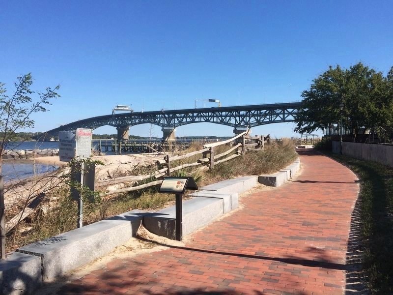
Location. 37° 14.376′ N, 76° 30.68′ W. Marker is in Yorktown, Virginia, in York County. Marker can be reached from Water Street west of Buckner Street when traveling west. Located along Yorktown's Riverwalk. Touch for map. Marker is in this post office area: Yorktown VA 23690, United States of America. Touch for directions.
Other nearby markers. At least 8 other markers are within walking distance of this marker. The Yorktown Windmill (within shouting distance of this marker); John Smith Explores the Chesapeake (within shouting distance of this marker); Join the Adventure (within shouting distance of this marker); The Watermen's Museum (within shouting distance of this marker); Aviation Field Yorktown (within shouting distance of this marker); Yorktown's Windmill (within shouting distance of this marker); The Betsy (about 300 feet away, measured in a direct line); Chesapeake Bay Watermen (about 500 feet away). Touch for a list and map of all markers in Yorktown.

Photographed By Bernard Fisher
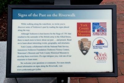
4. Signs of the Past on the Riverwalk
While walking along the waterfront, we invite you to
discover some of Yorktown’s past by reading the signs placed along the way.
Although Yorktown is best known for the Siege of 1781 that resulted in the surrender of the British army to the Allied forces, there is much more to know about our past … and present. Read on to learn about interesting events, geography, and structures.
York County collaborated with the National Park Service,Jamestown-Yorktown Foundation (Yorktown Victory Center),Watermen’s Museum and York County Historical Museum to develop these overviews. If a sign intrigues you, visit one of our museums to learn more.
We welcome your questions or comments. For more details about information on signs along the Riverwalk, visit www.yorkcounty.gov/ychm.
Credits. This page was last revised on November 14, 2021. It was originally submitted on April 21, 2013, by Bernard Fisher of Richmond, Virginia. This page has been viewed 495 times since then and 24 times this year. Photos: 1. submitted on April 21, 2013, by Bernard Fisher of Richmond, Virginia. 2. submitted on October 23, 2016, by J. Makali Bruton of Accra, Ghana. 3. submitted on October 24, 2016, by J. Makali Bruton of Accra, Ghana. 4. submitted on April 21, 2013, by Bernard Fisher of Richmond, Virginia.


