Niagara Falls in Niagara Region, Ontario — Central Canada (North America)
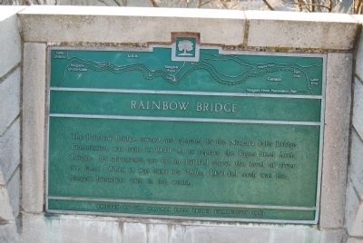
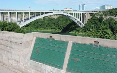
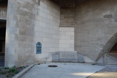
Rainbow Bridge
Erected 1989 by Niagara Falls Bridge Commission.
Topics. This historical marker is listed in this topic list: Bridges & Viaducts.
Location. 43° 5.475′ N, 79° 4.189′ W. Marker is in Niagara Falls, Ontario, in Niagara Region. Marker is on River Road, 0.2 kilometers Hiram Street, on the right when traveling north. Touch for map. Marker is at or near this postal address: 110 River Road, Niagara Falls ON L2G 3K9, Canada. Touch for directions.
Other nearby markers. At least 8 other markers are within walking distance of this marker. International Rainbow Bridge Commemoration (within shouting distance of this marker); Upper Steel Arch Bridge (about 120 meters away, measured in a direct line); Upper Suspension Bridge (about 120 meters away); The Boundary Waters Treaty (about 150 meters away); Thomas Baker McQuesten (about 210 meters away); The Falls View Bridges (approx. 0.4 kilometers away in the U.S.); To the Memory of Burrell Hecock (approx. 0.4 kilometers away); Zimmerman Fountain Pond (approx. 0.4 kilometers away). Touch for a list and map of all markers in Niagara Falls.
Photographed By Mike Wintermantel, April 21, 2013
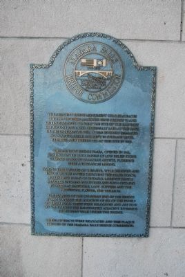
5. Rainbow Bridge Plaque Describing the Bridge Stone
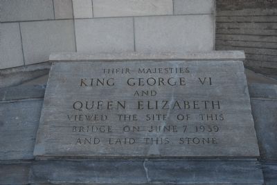
The adjacent stone monument commemorates the visit of their Majesties King George VI and Queen Elizabeth to view the site of the Rainbow Bridge on June 7, 1939. Originally laid at the base of the Carillon Tower, it was severly damaged by an automobile and kept in storage until repaired and re-erected at this site in 1999.
The Rainbow Bridge Plaza, opened in 1941, was decorated with panels of low relief stone carving by noted Canadian artists, Florence Wyle and Frances Loring.
Among their works on this site, Wyle designed and executed the panels depicting the stage coach, forest and farms of Ontario. Loring's panels depicted Ontario industries and such Ontario flowers as Daffodils, Lady Slippers and the provincial flower, the Trillium.
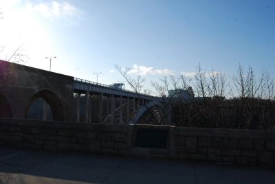
The flaring of the Canadian end of the bridge in 1997 covered the location of six of the panels on River Road. These were relocated and are now on view along the immediately adjacent riverside pedestrian walk under the bridge.
These artifacts were relocated and this plaque erected by the Niagara Falls Bridge Commission.
Credits. This page was last revised on September 27, 2019. It was originally submitted on April 21, 2013, by Mike Wintermantel of Pittsburgh, Pennsylvania. This page has been viewed 779 times since then and 20 times this year. Photos: 1. submitted on April 21, 2013, by Mike Wintermantel of Pittsburgh, Pennsylvania. 2. submitted on July 10, 2014, by Richard E. Miller of Oxon Hill, Maryland. 3, 4, 5, 6. submitted on April 21, 2013, by Mike Wintermantel of Pittsburgh, Pennsylvania.
