Highland Park in Lake County, Illinois — The American Midwest (Great Lakes)
Site of the First Public Building
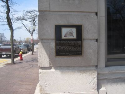
April 22, 2013
1. Highland Park Building Company Marker
Erected 1971 by Highland Park Historical Society.
Topics. This historical marker is listed in this topic list: Industry & Commerce. A significant historical year for this entry is 1868.
Location. 42° 11.167′ N, 87° 47.916′ W. Marker is in Highland Park, Illinois, in Lake County. It is at the intersection of Central Avenue and Saint Johns Avenue, on the right when traveling west on Central Avenue. Touch for map. Marker is at or near this postal address: 1805 St Johns Ave, Highland Park IL 60035, United States of America. Touch for directions.

Regionally, this marker is in Greater Chicago. It is also in the American Midwest. Globally, it is in North America, on the Great Lakes, in the Western Hemisphere, in
this page online
Other nearby markers. At least 8 other markers are within 6 miles of this marker, measured as the crow flies: The Francis Stupey Log Cabin (approx. 0.2 miles away); The Water Tower (approx. 2.2 miles away); Fort Sheridan (approx. 2.3 miles away); a different marker also named Fort Sheridan (approx. 2.3 miles away); Tyler Gate (approx. 2.4 miles away); This Indian Trail Tree (approx. 2.7 miles away); McKinlock Post 264 American Legion Veterans Memorial (approx. 5.2 miles away); The Green Bay Trail (approx. 5.3 miles away). Touch for a list and map of all markers in Highland Park.
Credits. This page was last revised on June 16, 2016. It was originally submitted on April 22, 2013. This page has been viewed 634 times since then and 32 times this year. Photo 1. submitted on April 22, 2013. • Bernard Fisher was the editor who published this page.
