Near Benton Harbor in Berrien County, Michigan — The American Midwest (Great Lakes)
The Fruit Belt
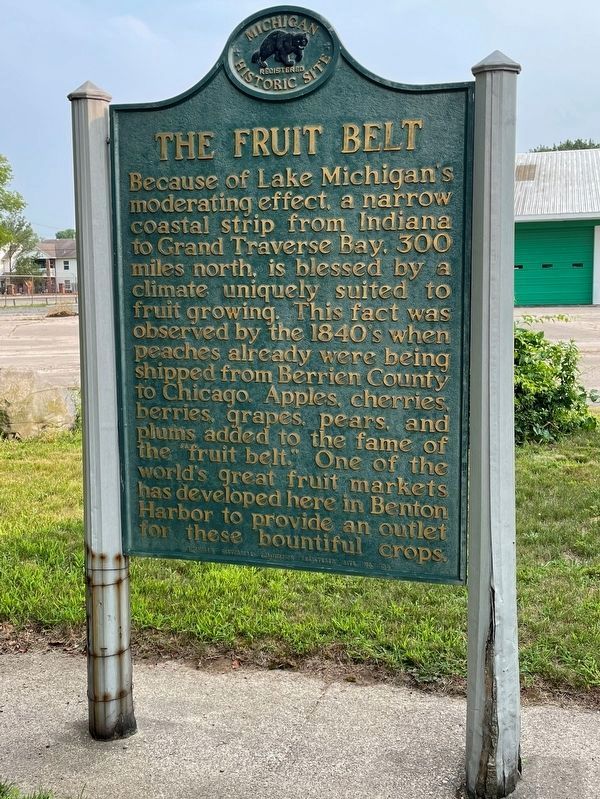
Because of Lake Michigan's moderating effect, a narrow coastal strip from Indiana to Grand Traverse Bay, 300 miles north, is blessed by a climate uniquely suited to fruit growing. This fact was observed by the 1840's when peaches already were being shipped from Berrien County to Chicago. Apples, cherries, berries, grapes, pears, and plums added to the fame of the "fruit belt." One of the world's great fruit markets has developed here in Benton Harbor to provide an outlet for these bountiful crops.
Erected 1958 by Michigan Historical Commission. (Marker Number S155.)
Topics and series. This historical marker is listed in these topic lists: Agriculture • Industry & Commerce. In addition, it is included in the Michigan Historical Commission series list.
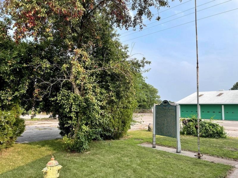
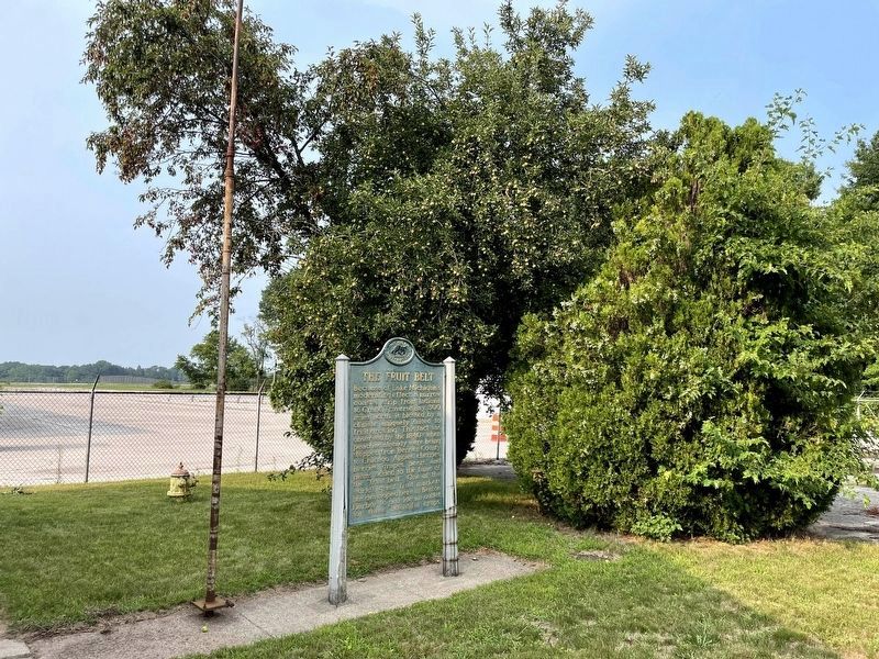
Location. 42° 7.438′ N, 86° 24.797′ W. Marker is near Benton Harbor, Michigan, in Berrien County. Marker can be reached from Territorial Road, ¼ mile east of North Crystal Avenue, on the left when traveling east. Marker is located within the Benton Harbor Fruit Market which is a seasonal enterprise; the marker may not be accessible when the market is closed. Touch for map. Marker is at or near this postal address: 1891 Territorial Rd, Benton Harbor MI 49022, United States of America. Touch for directions.
Other nearby markers. At least 8 other markers are within 4 miles of this marker, measured as the crow flies. Benton Harbor Fruit Market (here, next to this marker); Israelite House of David / Mary's City of David (approx. 1.4 miles away); The Historic District of Mary's City of David (approx. 1.4 miles away); Morton Cemetery (approx. 1½ miles away); The Morton House (approx. 1.8 miles away); Boatbuilding Industry (approx. 3½ miles away); St. Joseph Maritime Heritage (approx. 3½ miles away); Shipbuilding in the Twin Cities (approx. 3½ miles away). Touch for a list and map of all markers in Benton Harbor.
Also see . . . Benton Harbor Fruit Market. Wikipedia entry (Submitted on February 14, 2024, by Larry Gertner of New York, New York.)
Credits. This page was last revised on February 14, 2024. It was originally submitted on April 26, 2013, by Duane Hall of Abilene, Texas. This page has been viewed 699 times since then and 40 times this year. Photos: 1, 2, 3. submitted on October 19, 2021, by John Garman of Rochester Hills. 4. submitted on July 12, 2015, by Duane Hall of Abilene, Texas. • Bernard Fisher was the editor who published this page.


