
Williamson in Wayne County, New York — The American Northeast (Mid-Atlantic)
Site of First Log House
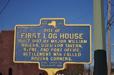
Photographed by Yugoboy, March 24, 2013
1. Site of First Log House Marker
Erected 1935 by State Education Department.
Topics. This historical marker is listed in this topic list: Settlements & Settlers. A significant historical year for this entry is 1807.
Location. 43° 13.432′ N, 77° 11.174′ W. Marker is in Williamson, New York, in Wayne County. It is at the intersection of Main Street/Ridge Road and Lake Ave/South Ave (Route 21), on the right when traveling east on Main Street/Ridge Road. The street names are the way they are because both intersecting roads change names at this intersection. Touch for map. Marker is in this post office area: Williamson NY 14589, United States of America. Touch for directions.

Regionally, this marker is in Upstate New York, specifically in Western New York, in the Finger Lakes, and in the Rochester Metropolitan Area. It is also in the American Northeast and in the Mid-Atlantic. Globally, it is in North America, on the Great Lakes, in the Western Hemisphere, in the Western World, and in the Anglosphere. Historically, it finds itself
this page online
Other nearby markers. At least 8 other markers are within 4 miles of this marker, measured as the crow flies: Memories of Williamson Mural (within shouting distance of this marker); Over 100 Years of Service (about 300 feet away, measured in a direct line); Town of Williamson (approx. half a mile away); 9/11 & Veterans Memorial (approx. half a mile away); Underground Railroad Station (approx. 0.9 miles away); Indian Trail (approx. 2.2 miles away); Site of Union Church (approx. 3.9 miles away); Pultneyville Historic District (approx. 3.9 miles away). Touch for a list and map of all markers in Williamson.
Another marker is no longer nearby. 100 Years of Dramatics (was approx. 3.9 miles away but has been confirmed missing).
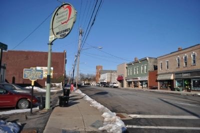
Photographed by Yugoboy, March 24, 2013
2. Site of First Log House Marker as seen facing West on Ridge/Main
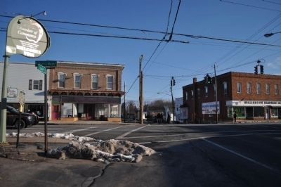
Photographed by Yugoboy, March 24, 2013
3. Site of First Log House Marker as seen facing North from South Ave
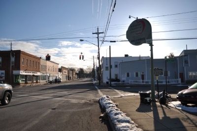
Photographed by Yugoboy, March 24, 2013
4. Site of First Log House Marker as seen facing East on Ridge/Main
Credits. This page was last revised on June 16, 2016. It was originally submitted on May 1, 2013, by Yugoboy of Rochester, New York. This page has been viewed 531 times since then and 20 times this year. Photos: 1, 2, 3, 4. submitted on May 1, 2013, by Yugoboy of Rochester, New York. • Bill Pfingsten was the editor who published this page.
