Massapequa Park in Nassau County, New York — The American Northeast (Mid-Atlantic)
Flying Field
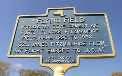
Photographed by Bill Coughlin, May 5, 2013
1. Flying Field Marker
port. 21 acre Fitzmaurice
Field, here 1929 to 1953 . . .
Col. James Fitzmaurice flew
1st flight Europe to U.S.A.
Erected by Historical Society of the Massapequas.
Topics. This historical marker is listed in this topic list: Air & Space. A significant historical year for this entry is 1929.
Location. 40° 41.449′ N, 73° 26.962′ W. Marker is in Massapequa Park, New York, in Nassau County. It is at the intersection of Spruce Street and Roosevelt Avenue, on the right when traveling east on Spruce Street. Marker is located in front of McKenna Elementary School. Touch for map. Marker is in this post office area: Massapequa Park NY 11762, United States of America. Touch for directions.

Regionally, this marker is in the New York City Metropolitan Area and on Long Island. It is also in the American Northeast, in the Mid-Atlantic, and on the Eastern Seaboard. Globally, it is in the North Atlantic Region, North America, the Western Hemisphere, the Western World, and the Anglosphere. Historically, it finds itself in what was once New Netherland and also one of the original Thirteen Colonies.
this page online
Other nearby markers. At least 8 other markers are within 2 miles of this marker, measured as the crow flies: Claus Kristian Clausen, U.S.N. (approx. ¼ mile away); Woodcastle Hotel (approx. 0.9 miles away); Frank Buck's Zoo (approx. 1.1 miles away); Cpl. Albert F. Klestinec, Jr. (approx. 1.3 miles away); First Fire House (approx. 1½ miles away); Brunswick Home (approx. 1.6 miles away); Tryon Hall Site (approx. 1.7 miles away); Thorn Estate (approx. 1.7 miles away). Touch for a list and map of all markers in Massapequa Park.
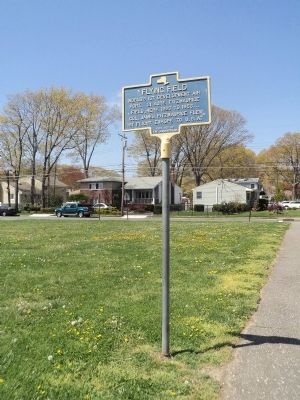
Photographed by Bill Coughlin, May 5, 2013
2. Flying Field Marker
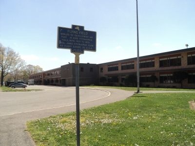
Photographed by Bill Coughlin, May 5, 2013
3. Marker in Massapequa Park
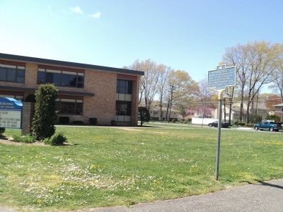
Photographed by Bill Coughlin, May 5, 2013
4. Flying Field Marker
The marker is located in front of McKenna Elementary School, seen in the background.
Credits. This page was last revised on June 16, 2016. It was originally submitted on May 5, 2013, by Bill Coughlin of Woodland Park, New Jersey. This page has been viewed 1,059 times since then and 48 times this year. Photos: 1, 2, 3, 4. submitted on May 5, 2013, by Bill Coughlin of Woodland Park, New Jersey.
