Newberry in Alachua County, Florida — The American South (South Atlantic)
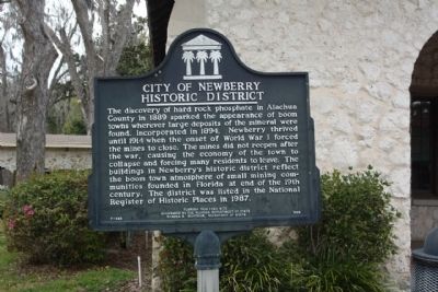
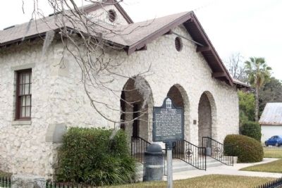
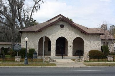
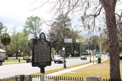
City of Newberry Historic District
Erected 1995 by Florida Department of State Sandra B. Mortham, Secretary of State. (Marker Number F-363.)
Topics. This historical marker is listed in this topic list: Notable Places. A significant historical year for this entry is 1889.
Location. 29° 38.778′ N, 82° 36.732′ W. Marker is in Newberry, Florida, in Alachua County. Marker is at the intersection of West Newberry Road (State Road 26) and Northwest 254th Street, on the right when traveling west on West Newberry Road. Touch for map. Marker is at or near this postal address: 25440 W Newberry Rd, Newberry FL 32669, United States of America. Touch for directions.
Other nearby markers. At least 8 other markers are within 10 miles of this marker, measured as the crow flies. Newberry Community Veterans Memorial (a few steps from this marker); Newberry, Florida (within shouting distance of this marker); Little Red Schoolhouse (approx. ¼ mile away); Lynching in America / Racial Terror Lynchings in Newberry (approx. 0.8 miles away); William Bartram Trail (approx. 1.6 miles away); The Newberry Lynchings of 1916 (approx. 5.8 miles away); St. Peter Cemetery of Archer (approx. 7.1 miles away); David Levy Yulee and Cotton Wood Plantation (approx. 9.6 miles away). Touch for a list and map of all markers in Newberry.
Regarding City of Newberry Historic District. National Register of Historic Places:
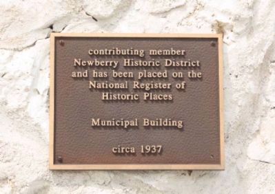
Newberry Historic District (added 1987 - - #87002150)
Roughly bounded by NW Second Ave., NW Second St., Lucile St., & NW Ninth St. , Newberry
• Historic Significance: Event, Architecture/Engineering
• Architect, builder, or engineer: Unknown
• Architectural Style: Queen Anne, Classical Revival, Bungalow/Craftsman
• Area of Significance: Exploration/Settlement, Architecture, Commerce
• Period of Significance: 1925-1949, 1900-1924, 1875-1899
• Owner: Private , Local
• Historic Function: Commerce/Trade, Domestic
• Historic Sub-function: Business, Single Dwelling
• Current Function: Commerce/Trade,
Domestic
• Current Sub-function: Business, Single Dwelling
Credits. This page was last revised on June 16, 2016. It was originally submitted on May 9, 2013, by Mike Stroud of Bluffton, South Carolina. This page has been viewed 703 times since then and 17 times this year. Photos: 1, 2, 3, 4, 5. submitted on May 10, 2013, by Mike Stroud of Bluffton, South Carolina.
