Port Byron in Cayuga County, New York — The American Northeast (Mid-Atlantic)
Port Byron
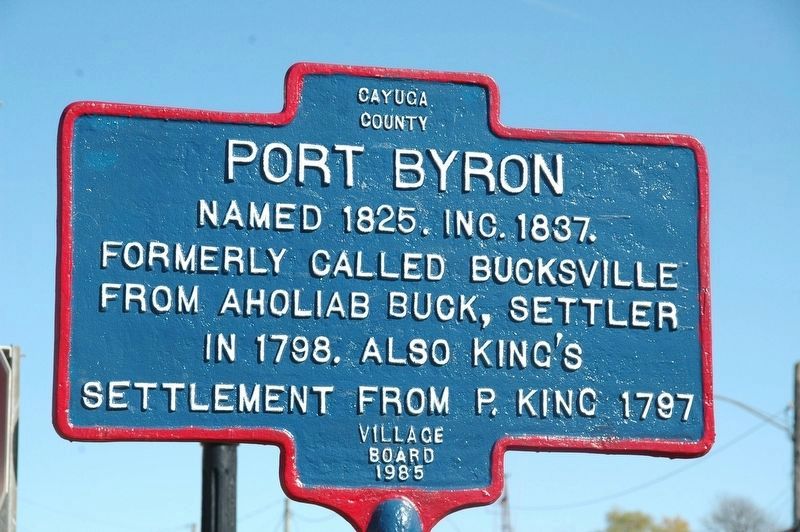
Photographed by Howard C. Ohlhous, October 20, 2017
1. Port Byron Marker
Erected 1985 by Village Board.
Topics. This historical marker is listed in this topic list: Settlements & Settlers. A significant historical year for this entry is 1825.
Location. 43° 2.105′ N, 76° 37.404′ W. Marker is in Port Byron, New York, in Cayuga County. It is at the intersection of Utica Street (New York State Route 31) and Main Street on Utica Street. Touch for map. Marker is in this post office area: Port Byron NY 13140, United States of America. Touch for directions.

Regionally, this marker is in Upstate New York, specifically in Central New York, and in the Syracuse Metropolitan Area. It is also in the American Northeast and in the Mid-Atlantic. Globally, it is in North America, the Western Hemisphere, the Western World, and the Anglosphere. Historically, it finds itself in what was once the Haudenosaunee (Iroquois) Confederacy, New Netherland, and one of the original Thirteen Colonies.
Other nearby markers. At least 8 other markers are within walking distance
this page online
Another marker is no longer nearby. Village of Port Byron (was approx. ¼ mile away but has been permanently removed).
Photographed by Yugoboy, March 11, 2013
2. Port Byron Marker
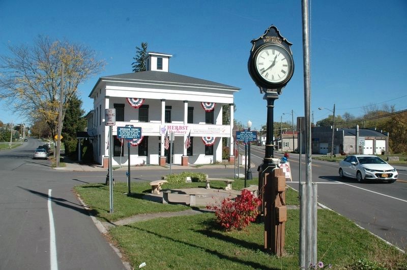
Photographed by Howard C. Ohlhous, October 20, 2017
3. Port Byron Marker
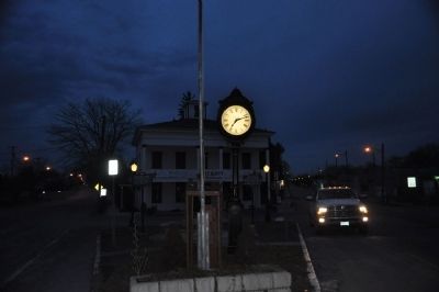
Photographed by Yugoboy, March 11, 2013
4. Port Byron and Brigham Young Markers in situ
Photographed by Yugoboy, March 11, 2013
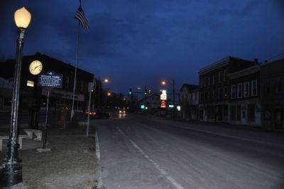
5. Facing East towards traffic island
Only the Brigham Young marker is visible in this shot
Credits. This page was last revised on November 18, 2019. It was originally submitted on May 15, 2013, by Yugoboy of Rochester, New York. This page has been viewed 765 times since then and 19 times this year. Photos: 1. submitted on November 16, 2019, by Howard C. Ohlhous of Duanesburg, New York. 2. submitted on May 15, 2013, by Yugoboy of Rochester, New York. 3. submitted on November 16, 2019, by Howard C. Ohlhous of Duanesburg, New York. 4, 5. submitted on May 15, 2013, by Yugoboy of Rochester, New York. • Bill Pfingsten was the editor who published this page.
