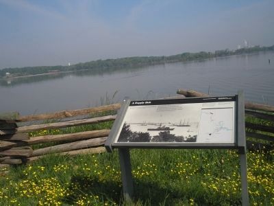
Hopewell, Virginia — The American South (Mid-Atlantic)
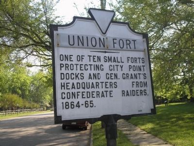
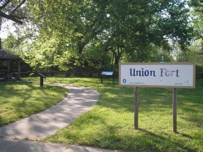
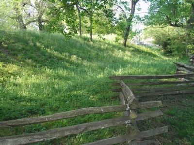
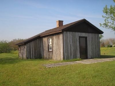
Union Fort
Erected 1961.
Topics. This historical marker is listed in these topic lists: Forts and Castles • War, US Civil.
Location. 37° 18.566′ N, 77° 16.786′ W. Marker is in Hopewell, Virginia. Marker is at the intersection of Appomattox Street and Wilson Street, on the right when traveling north on Appomattox Street. Touch for map. Marker is in this post office area: Hopewell VA 23860, United States of America. Touch for directions.
Other nearby markers. At least 8 other markers are within walking distance of this marker. City Point Defenses (within shouting distance of this marker); U.S. Government Bakery (within shouting distance of this marker); St. John's Episcopal Church Bell (approx. 0.3 miles away); The Bull Ring At City Point (approx. 0.3 miles away); St. John's Episcopal Church (approx. 0.3 miles away); Dr. Peter Eppes House (approx. 0.4 miles away); Porter House (approx. 0.4 miles away); City Point, Virginia (approx. 0.4 miles away). Touch for a list and map of all markers in Hopewell.
Also see . . . City Point. National Park Service. (Submitted on March 24, 2008, by Bill Coughlin of Woodland Park, New Jersey.)
Credits. This page was last revised on June 16, 2016. It was originally submitted on March 24, 2008, by Bill Coughlin of Woodland Park, New Jersey. This page has been viewed 1,279 times since then and 26 times this year. Photos: 1, 2, 3, 4, 5. submitted on March 24, 2008, by Bill Coughlin of Woodland Park, New Jersey. • Craig Swain was the editor who published this page.
