Meade in Meade County, Kansas — The American Midwest (Upper Plains)
Meade County
Incorporated in 1885
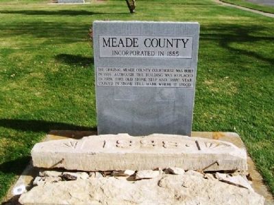
Photographed by William Fischer, Jr., November 10, 2012
1. Meade County Marker
Erected by Alva Monument Company.
Topics. This historical marker is listed in this topic list: Government & Politics. A significant historical year for this entry is 1888.
Location. 37° 17.21′ N, 100° 20.39′ W. Marker is in Meade, Kansas, in Meade County. It is on Fowler Street (State Highway 23) north of Belle Meade Street, on the right when traveling north. Marker is on the county courthouse grounds. Touch for map. Marker is at or near this postal address: 200 North Fowler Street, Meade KS 67864, United States of America. Touch for directions.

Regionally, this marker is in the American Midwest, in the Corn Belt, on the prairies, on the Great Plains, on the Southern Plains, on the High Plains, and on the Santa Fe Trail Corridor. Globally, it is in North America, the Western Hemisphere, the Western World, and the Anglosphere. Historically, it finds itself in what was once New Spain, the Comanchería, the Dust Bowl, the Louisiana
this page online
Other nearby markers. At least 8 other markers are within 2 miles of this marker, measured as the crow flies: Pioneer Arena Club Women and Pioneer Settlers (a few steps from this marker); Veterans and War Memorials (within shouting distance of this marker); Hoodoo Brown's Road Ranch (approx. 0.7 miles away); Jones & Plummer Trail (approx. 0.7 miles away); Graceland Cemetery (approx. 1.1 miles away); Veterans Memorial (approx. 1.2 miles away); Grace Brown (approx. 1.2 miles away); The Lone Tree Incident (approx. 1½ miles away). Touch for a list and map of all markers in Meade.
Also see . . .
1. Meade County, Kansas, Official Website. (Submitted on May 26, 2013, by William Fischer, Jr. of Reynoldsburg, Ohio.)
2. Meade County, Kansas. (Submitted on May 26, 2013, by William Fischer, Jr. of Reynoldsburg, Ohio.)
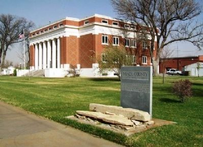
Photographed by William Fischer, Jr., November 10, 2012
2. Meade County Marker
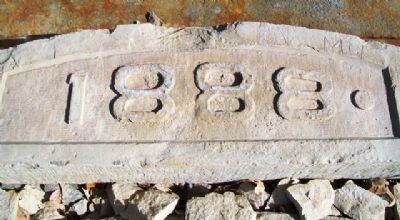
Photographed by William Fischer, Jr., November 10, 2012
3. Original Meade County Courthouse Date Marker
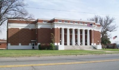
Photographed by William Fischer, Jr., November 10, 2012
4. Meade County Courthouse
Credits. This page was last revised on September 7, 2020. It was originally submitted on May 26, 2013, by William Fischer, Jr. of Reynoldsburg, Ohio. This page has been viewed 656 times since then and 32 times this year. Photos: 1, 2, 3, 4. submitted on May 26, 2013, by William Fischer, Jr. of Reynoldsburg, Ohio.
