Meade in Meade County, Kansas — The American Midwest (Upper Plains)
Hoodoo Brown's Road Ranch
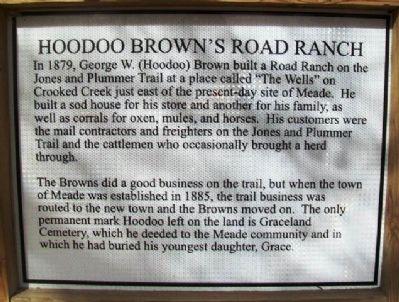
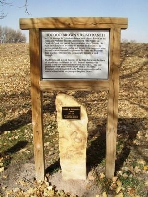
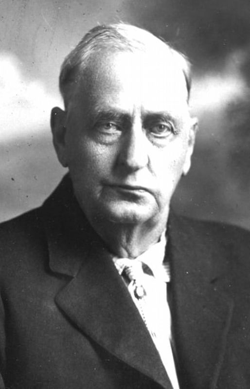
In 1879, George W. (Hoodoo) Brown built a Road Ranch on the Jones and Plummer Trail at a place called "The Wells" on Crooked Creek just east of the present-day site of Meade. He built a sod house for his store and another for his family, as well as corrals for oxen, mules, and horses. His customers were the mail contractors and freighters on the Jones and Plummer Trail and the cattlemen who occasionally brought a herd through.
The Browns did a good business on the trail, but when the town of Meade was established in 1885, the trail business was routed to the new town and the Browns moved on. The only permanent mark Hoodoo left on the land is Graceland Cemetery, which he deeded to the Meade community and in which he had buried his youngest daughter, Grace.
Topics. This historical marker is listed in these topic lists: Industry & Commerce • Roads & Vehicles • Settlements & Settlers. A significant historical year for this entry is 1879.
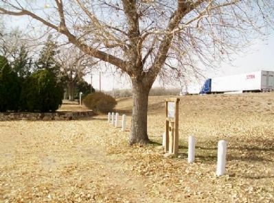
Location. 37° 17.117′ N, 100° 19.617′ W. Marker is in Meade, Kansas, in Meade County. Marker is at the intersection of N Road (U.S. 54/160) and 19th Road, on the right when traveling east on N Road. Marker is in Meade City Park. Touch for map. Marker is in this post office area: Meade KS 67864, United States of America. Touch for directions.
Other nearby markers. At least 8 other markers are within 3 miles of this marker, measured as the crow flies . Jones & Plummer Trail (here, next to this marker); Graceland Cemetery (approx. 0.4 miles away); Veterans Memorial (approx. 0.4 miles away); Grace Brown (approx. half a mile away); Veterans and War Memorials (approx. 0.7 miles away); Pioneer Arena Club Women and Pioneer Settlers (approx. 0.7 miles away); Meade County (approx. 0.7 miles away); The Lone Tree Incident (approx. 2.2 miles away). Touch for a list and map of all markers in Meade.
Also see . . .
1. The Hoodoo Brown Story. Legends of Dodge City website entry (Submitted on May 16, 2023, by Larry Gertner of New York, New York.)
2. Meade City Park. City website entry (Submitted on May 16, 2023, by Larry Gertner of New York, New York.)
Credits. This page was last revised on May 16, 2023. It was originally submitted on May 28, 2013, by William Fischer, Jr. of Scranton, Pennsylvania. This page has been viewed 716 times since then and 16 times this year. Photos: 1, 2. submitted on May 28, 2013, by William Fischer, Jr. of Scranton, Pennsylvania. 3. submitted on May 16, 2023, by Larry Gertner of New York, New York. 4. submitted on May 28, 2013, by William Fischer, Jr. of Scranton, Pennsylvania.


