Springfield in Hampden County, Massachusetts — The American Northeast (New England)
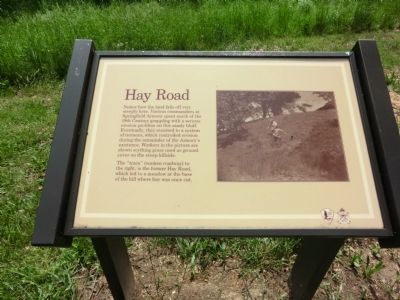
Hay Road
Springfield Armory National Historic Site
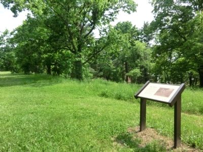
The “trace” (sunken roadway) to the right, is the former Hay Road, which led to a meadow at the base of the hill where hay was once cut.
Erected by National Park Service.
Topics. This memorial is listed in this topic list: Government & Politics.
Location. 42° 6.45′ N, 72° 34.992′ W. Marker is in Springfield, Massachusetts, in Hampden County. Memorial can be reached from Federal Street. The marker is on the grounds of the Springfield Armory. The entrance is on Federal Street. Touch for map. Marker is in this post office area: Springfield MA 01105, United States of America. Touch for directions.
Other nearby markers. At least 8 other markers are within walking distance of this marker. A "Magnificent Mansion" (within shouting distance of this marker); Master Armorer's House (within shouting distance of this marker); Main Arsenal (about 400 feet away, measured in a direct line); From Arsenal to Icon (about 400 feet away); Working for Perfection (about 500 feet away); Armory Square (about 500 feet away); Springfield (about 500 feet away); Historic Legacy, Shared Future (about 700 feet away). Touch for a list and map of all markers in Springfield.
Credits. This page was last revised on June 16, 2016. It was originally submitted on June 7, 2013, by Don Morfe of Baltimore, Maryland. This page has been viewed 487 times since then and 10 times this year. Photos: 1, 2. submitted on June 7, 2013, by Don Morfe of Baltimore, Maryland. • Bill Pfingsten was the editor who published this page.

