Kapaa in Kauai County, Hawaii — Hawaiian Island Archipelago (Pacific Ocean)
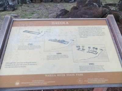
Houola
Photographed by Bill Kirchner, May 22, 2013
1. Houola Marker
Erected by State of Hawaii, Department of Land and Natural Resources, Division of State Parks.
Topics. This historical marker is listed in this topic list: Notable Places. A significant historical year for this entry is 1819.
Location. 22° 2.604′ N, 159° 20.135′ W.
this page online

Regionally, it is in North America, in Polynesia, in the Pacific Ocean, in North Pacific, on the Pacific Rim, in the Western Hemisphere, in the Western World, and in the Anglosphere.
Other nearby markers. At least 8 other markers are within 13 miles of this marker, measured as the crow flies: Albert S. Morgan Sr.'s Lydgate Pools (approx. 0.2 miles away); Poli'auh Heiau (approx. 1.3 miles away); Wai'ale'ale (approx. 1½ miles away); Maunakapu and Wailua River (approx. 1½ miles away); Roxy Theater (approx. 2½ miles away); The Kapa'a Japanese Stone Lantern (Ishidoro) (approx. 2.7 miles away); Kōloa Jodo Mission (approx. 12.6 miles away); Koloa, Birthplace of the Hawaiian Sugar Industry (approx. 12.7 miles away). Touch for a list and map of all markers in Kapaa.
Photographed by Bill Kirchner, May 22, 2013
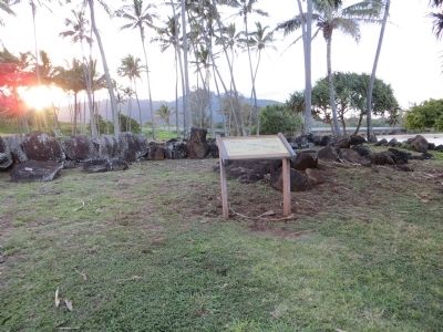
2. Houola Marker
Photographed by Bill Kirchner, May 22, 2013
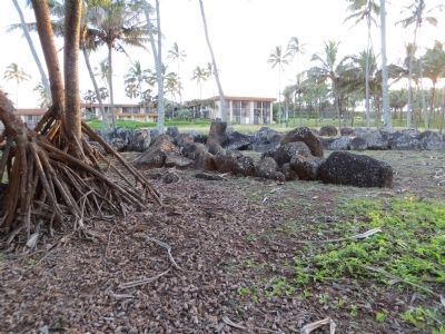
3. Houola
Aston Aloha Hotel is in the background.
Credits. This page was last revised on June 16, 2016. It was originally submitted on June 8, 2013, by Bill Kirchner of Tucson, Arizona. This page has been viewed 762 times since then and 26 times this year. Photos: 1, 2, 3. submitted on June 8, 2013, by Bill Kirchner of Tucson, Arizona. • Syd Whittle was the editor who published this page.
