Near Kapaa in Kauai County, Hawaii — Hawaiian Island Archipelago (Pacific Ocean)
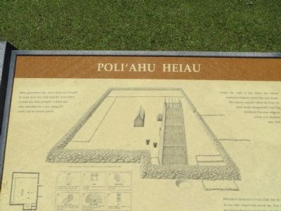
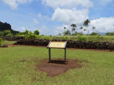
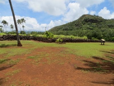
Poli'auh Heiau
Within the walls of this heiau, the kahuna conducted religious ceremonies and rituals. The features erected within the heiau for these rituals disappeared when the traditional Hawaiian religious system was abolished after 1819.
Topics. This historical marker is listed in these topic lists: Native Americans • Notable Places. A significant historical year for this entry is 1819.
Location. 22° 2.797′ N, 159° 21.305′ W. Marker is near Kapaa, Hawaii, in Kauai County. Marker is on Route 580, 1.4 miles west of Hawaii Route 56, on the left when traveling west. Touch for map. Marker is in this post office area: Kapaa HI 96746, United States of America. Touch for directions.
Other nearby markers. At least 8 other markers are within 13 miles of this marker, measured as the crow flies. Wai'ale'ale (approx. ¼ mile away); Maunakapu and Wailua River (approx. ¼ mile away); Houola (approx. 1.3 miles away); Albert S. Morgan Sr.'s Lydgate Pools (approx. 1.3 miles away); Roxy Theater (approx. 3.1 miles away); The Kapa'a Japanese Stone Lantern (Ishidoro) (approx. 3.3 miles away); Kōloa Jodo Mission (approx. 12 miles away); Koloa, Birthplace of the Hawaiian Sugar Industry (approx. 12.1 miles away). Touch for a list and map of all markers in Kapaa.
Credits. This page was last revised on June 16, 2016. It was originally submitted on June 9, 2013, by Bill Kirchner of Tucson, Arizona. This page has been viewed 539 times since then and 13 times this year. Photos: 1, 2, 3. submitted on June 9, 2013, by Bill Kirchner of Tucson, Arizona. • Syd Whittle was the editor who published this page.


