Marysville in Yuba County, California — The American West (Pacific Coastal)
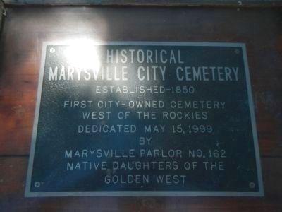
Historical Marysville City Cemetery
Established – 1850
West of the Rockies
Erected 1999 by Native Daughters of the Golden West, Marysville Parlor No. 162.
Topics and series. This historical marker is listed in this topic list: Cemeteries & Burial Sites. In addition, it is included in the Native Sons/Daughters of the Golden West series list.
Location. 39° 9.697′ N, 121° 35.329′ W. Marker is in Marysville, California, in Yuba County. Marker can be reached from B Street (California Route 70), on the right when traveling north. Touch for map. Marker is in this post office area: Marysville CA 95901, United States of America. Touch for directions.
Other nearby markers. At least 8 other markers are within 2 miles of this marker, measured as the crow flies. Marysville City Cemetery (within shouting distance of this marker); Marysville Hebrew Cemetery (within shouting distance of this marker); River Pumps (approx. one mile away); Ellis Lake (approx. 1.1 miles away); First Yuba County Courthouse (approx. 1.4 miles away); José Manuel Ramírez Rosales (approx. 1½ miles away); Yuba County Veterans Memorial (approx. 1½ miles away); Beckwourth Trail – Marysville (approx. 1.6 miles away). Touch for a list and map of all markers in Marysville.
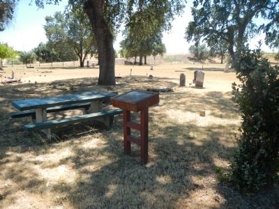
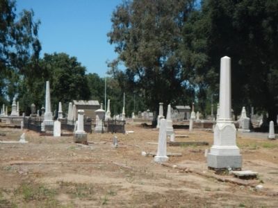
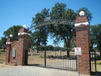
More about this marker. This marker is located in the Marysville City Cemetery at the northern city limits of Marysville.
Credits. This page was last revised on June 16, 2016. It was originally submitted on June 11, 2013, by Barry Swackhamer of Brentwood, California. This page has been viewed 577 times since then and 24 times this year. Photos: 1, 2, 3, 4. submitted on June 11, 2013, by Barry Swackhamer of Brentwood, California. • Syd Whittle was the editor who published this page.


