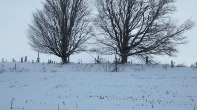
Medina in Orleans County, New York — The American Northeast (Mid-Atlantic)
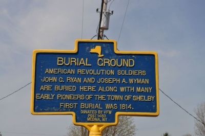
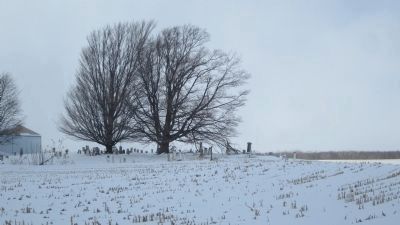
Burial Ground
Erected by Donated by VFW Post 1483 Medina, NY.
Topics. This historical marker is listed in these topic lists: Cemeteries & Burial Sites • Settlements & Settlers • War, US Revolutionary. A significant historical year for this entry is 1814.
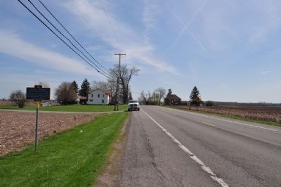
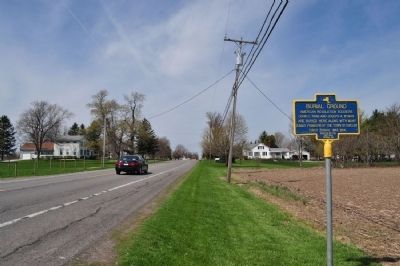
Location. 43° 12.468′ N, 78° 20.627′ W. Marker is in Medina, New York, in Orleans County. Marker is on Maple Ridge Road (New York State Route 31a) 0.2 miles west of Culvert Rd.. Touch for map. Marker is in this post office area: Medina NY 14103, United States of America. Touch for directions.
Other nearby markers. At least 8 other markers are within 3 miles of this marker, measured as the crow flies. Millville 1815 (approx. 1.1 miles away); Millville Cemetery (approx. 1˝ miles away); The Medina Culvert (approx. 1.9 miles away); The Culvert Road (approx. 1.9 miles away); In Honor of Our Departed Comrades (approx. 2.1 miles away); Second Lieutenant John E. Butts (approx. 2.1 miles away); Earliest Church (approx. 2.2 miles away); Welcome to Historic Medina (approx. 2.3 miles away). Touch for a list and map of all markers in Medina.
Credits. This page was last revised on June 16, 2016. It was originally submitted on June 13, 2013, by Yugoboy of Rochester, New York. This page has been viewed 803 times since then and 37 times this year. Photos: 1, 2, 3. submitted on June 13, 2013, by Yugoboy of Rochester, New York. 4, 5. submitted on March 4, 2014, by Anton Schwarzmueller of Wilson, New York. • Bill Pfingsten was the editor who published this page.
