Pleasanton in Alameda County, California — The American West (Pacific Coastal)
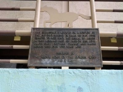
Rancho El Valle de San Jose
Erected 1965 by Native Sons of the Golden West.
Topics and series. This historical marker is listed in these topic lists: Entertainment • Sports. In addition, it is included in the Native Sons/Daughters of the Golden West series list. A significant historical year for this entry is 1839.
Location. 37° 39.662′ N, 121° 53.081′ W. Marker is in Pleasanton, California, in Alameda County. Marker can be reached from Fairgrounds Road, 0.2 miles Pleasanton Avenue, on the right when traveling north. Touch for map. Marker is in this post office area: Pleasanton CA 94566, United States of America. Touch for directions.
Other nearby markers. At least 8 other markers are within walking distance of this marker. The Heritage House (about 300 feet away, measured in a direct line); Gay 90's Pizzeria (approx. half a mile away); Nevis Pavilion (approx. half a mile away); Johnston Building (approx. half a mile away); The Pleasanton Sign (approx. half a mile away); The Roxy Theatre (approx. half a mile away); Larkin Locke House (approx. 0.6 miles away); The Pleasanton Hotel (approx. 0.6 miles away). Touch for a list and map of all markers in Pleasanton.
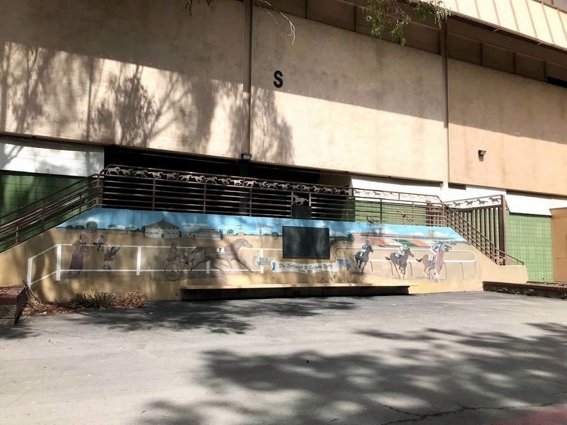
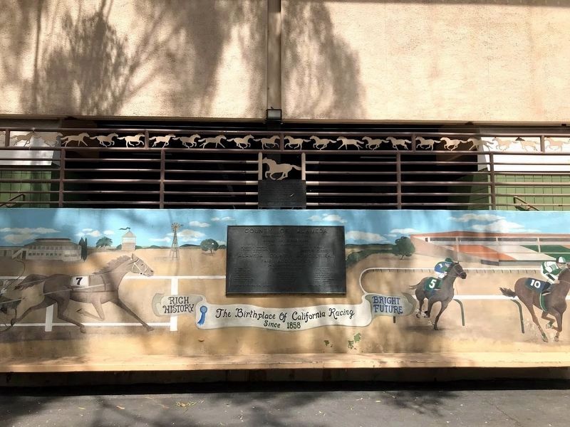
More about this marker. Marker is located on the handrail of the landing at the entrance to the grandstand.
Regarding Rancho El Valle de San Jose. The text is curious - "...in 1839 forming part of Mission San Jose lands." Since the mission lands were secularized by the Mexican government in 1834, I suspect that the the meaning was that the lands were once part of the Mission San Jose lands.
Also see . . .
1. Plat Map of the Rancho Valle de San José. (Submitted on June 14, 2013, by James King of San Miguel, California.)
2. Mission San José. This is the mission's official website. (Submitted on June 14, 2013, by James King of San Miguel, California.)
Credits. This page was last revised on July 15, 2020. It was originally submitted on June 14, 2013, by James King of San Miguel, California. This page has been viewed 842 times since then and 24 times this year. Photos: 1. submitted on June 14, 2013, by James King of San Miguel, California. 2, 3. submitted on July 15, 2020, by Diane Phillips of Pittsburg, California. • Syd Whittle was the editor who published this page.


