Soda Springs in Nevada County, California — The American West (Pacific Coastal)
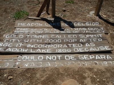
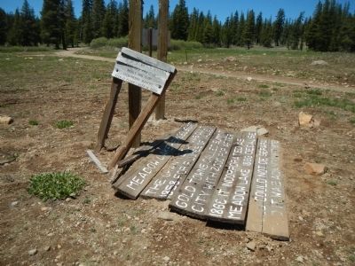
Meadow Lake – Excelsior
(missing)Marin Council
Erected by Boy Scout Troop 46.
Topics. This historical marker is listed in this topic list: Settlements & Settlers. A significant historical year for this entry is 1858.
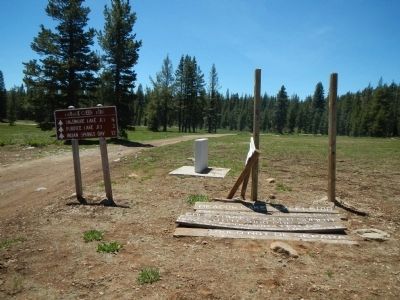
Location. 39° 24.579′ N, 120° 30.19′ W. Marker is in Soda Springs, California, in Nevada County. Marker is on Tahoe National Forest Service Road 843, on the left when traveling south. Touch for map. Marker is in this post office area: Soda Springs CA 95728, United States of America. Touch for directions.
Other nearby markers. At least 8 other markers are within 8 miles of this marker, measured as the crow flies. Summit City / Meadow Lake (here, next to this marker); The Emigrant Trail (approx. 4 miles away); Meadow Lake (approx. 6.7 miles away); Red Mountain (approx. 6.7 miles away); Rainbow Lodge (approx. 6.9 miles away); Truckee Trail - Ascent to Lake and Valley (approx. 7.1 miles away); Forest Gift Shop, Cisco Grove (approx. 7.1 miles away); Susan's Spot (approx. 7.1 miles away). Touch for a list and map of all markers in Soda Springs.
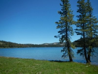
More about this marker. Access to Meadow Lake is by way of Henness Pass Road and then Forest Service Road 86. The marker is on the east side overlooking the lake, near the southern end of the campground.
Credits. This page was last revised on June 16, 2016. It was originally submitted on June 15, 2013, by Barry Swackhamer of Brentwood, California. This page has been viewed 532 times since then and 27 times this year. Photos: 1, 2, 3, 4. submitted on June 15, 2013, by Barry Swackhamer of Brentwood, California. • Syd Whittle was the editor who published this page.


