Near Spotsylvania Courthouse in Spotsylvania County, Virginia — The American South (Mid-Atlantic)
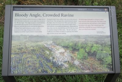
Bloody Angle, Crowded Ravine
The Battle of Spotsylvania Court House
— Fredericksburg and Spotsylvania National Military Park —
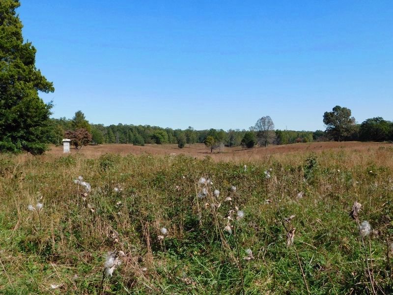
During the battle Union soldiers took cover in the ravine in front of you. Time and again they rushed forward to attack the Angle, only to be beaten back. With each repulse they left the ground between the ravine and the Angle strewn with hundreds of wounded and dying men. Bodies piled up three, four, even five deep, forming what one man described as “a perfect rampart of [the] dead….” By day’s end, up to 17,000 men were killed, wounded, or captured, most within sight of where you are now standing.
The hill dropped abruptly to a branch a short ways in front of the breastworks. The Yanks could come up behind the hill and have a short distance to charge in the open. They massed under the protection of the hill and made a rush at us over their own dead and wounded. Private David Holt, 16th Mississippi Infantry
(caption)
Thousands of troops covered the ground in front and behind you. The Union battle lines extended for nearly a half a mile.
Erected by National Park Service, U.S. Department of the Interior.
Topics. This historical marker is listed in this topic list: War, US Civil.
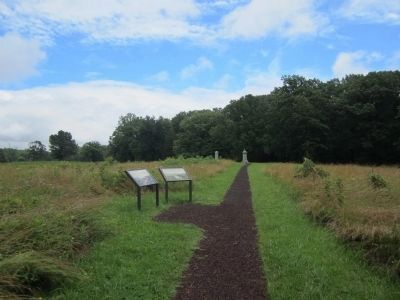
Location. 38° 13.421′ N, 77° 36.047′ W. Marker is near Spotsylvania Courthouse, Virginia, in Spotsylvania County. Marker can be reached from Grant Drive north of Anderson Drive, on the left when traveling east. Touch for map. Marker is in this post office area: Spotsylvania VA 22553, United States of America. Touch for directions.
Other nearby markers. At least 8 other markers are within walking distance of this marker. Attack on the Muleshoe (here, next to this marker); The Muleshoe Salient (within shouting distance of this marker); 49th New York Infantry (within shouting distance of this marker); 126th Ohio Volunteer Infantry (within shouting distance of this marker); Spotsylvania Campaign (within shouting distance of this marker); a different marker also named Spotsylvania Campaign (within shouting distance of this marker); Aftermath (within shouting distance of this marker); a different marker also named Spotsylvania Campaign (within shouting distance of this marker). Touch for a list and map of all markers in Spotsylvania Courthouse.
Also see . . . Fredericksburg & Spotsylvania National Military Park. National Park Service (Submitted on June 24, 2013.)
Credits. This page was last revised on November 14, 2021. It was originally submitted on June 24, 2013, by Bernard Fisher of Richmond, Virginia. This page has been viewed 858 times since then and 29 times this year. Photos: 1, 2. submitted on June 24, 2013, by Bernard Fisher of Richmond, Virginia. 3. submitted on March 6, 2021, by Bradley Owen of Morgantown, West Virginia.


