Harvard in Worcester County, Massachusetts — The American Northeast (New England)
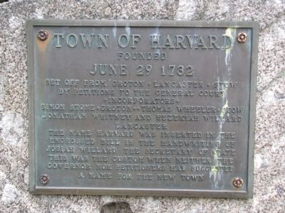
Town of Harvard
Founded
— June 29 1732 —
Upper Panel
by petitions to the General Court
• Incorporators •
Simon Stone • Groton • • Thomas Wheeler • Stow
Jonathan Whitney and Hezekiah Willard
Lancaster
The name Harvard was inserted in the
engrossed bill in the handwriting of
Josiah Willard the Secretary of State
This was the custom when neither the
Governor nor petitioners had suggested
a name for the new town
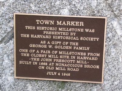
Lower Panel
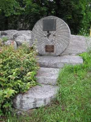
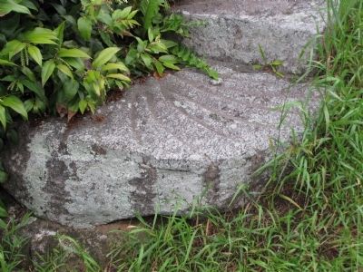
This historic millstone was
presented by
The Harvard Historical Society
as a gift of the
George W. Golden Family
One of a pair of millstones from
the oldest mill site in Harvard
• The John Prescott Mill •
Built in 1668 at Nonacoicus Brook
on Old Mill Road
July 4 1948
Topics. This historical marker is listed in these topic lists: Colonial Era • Industry & Commerce • Settlements & Settlers. A significant historical month for this entry is July 1954.
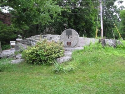
Location. 42° 30.115′ N, 71° 35.099′ W. Marker is in Harvard, Massachusetts, in Worcester County. Marker can be reached from Elm Street north of Still River Road (Massachusetts Route 110), on the left when traveling south. Located on the north part of Harvard Common near the Harvard Unitarian Universalist Church. Touch for map. Marker is in this post office area: Harvard MA 01451, United States of America. Touch for directions.
Other nearby markers. At least 8 other markers are within 6 miles of this marker, measured as the crow flies. Harvard Unitarian Universalist Church (a few steps from this marker); World War Memorial (about 400 feet away, measured in a direct line); Harvard Veteran's Memorial (about 400 feet away); Harvard Civil War Monument (about 500 feet away); Old Parsonage (approx. 4.3 miles away); Henderson Inches Sawmill (approx. 4.8 miles away); Neck Bridge (approx. 5.3 miles away); Camp Stevens Muster Ground (approx. 5.4 miles away). Touch for a list and map of all markers in Harvard.
Credits. This page was last revised on October 16, 2020. It was originally submitted on June 26, 2013, by Lee Hattabaugh of Capshaw, Alabama. This page has been viewed 464 times since then and 23 times this year. Photos: 1, 2, 3, 4, 5, 6, 7. submitted on June 26, 2013, by Lee Hattabaugh of Capshaw, Alabama. • Bill Pfingsten was the editor who published this page.
