Ocean View in Sussex County, Delaware — The American Northeast (Mid-Atlantic)
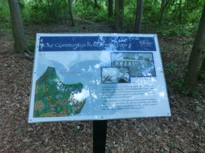
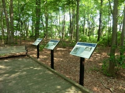
Our Community's Role in World War II
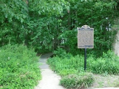
U.S. Army Radar Site 11
Inscription.
One of those radar sites was located on the property that is now home to The Village of Bear Trap Dunes. U.S. Army Radar Site 11 became operational in the summer of 1942. Its purpose was to spot enemy aircraft, submarines or surface ships approaching significant shipping points such as the Delaware River and Delaware Bay.
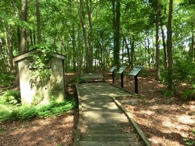
Initially designated as a mobile radar site, it was converted to a permanent site within a few short months. The radar site contained the radar building, and administration building, barracks, a kitchen and mess hall, a recreation hall, lavatories, several guard shelters and a pumphouse.
(Inscription beside the photo in the center and far right) Lavatory and Administration building
Erected by The Village of Bear Trap Dunes.
Topics. This historical marker is listed in this topic list: War, World II. A significant historical year for this entry is 1942.
Location. 38° 31.5′ N, 75° 6.483′ W. Marker is in Ocean View, Delaware, in Sussex County. Marker is on Magnolia Street. The marker is about 25 feet down the path from the road. Touch for map. Marker is in this post office area: Ocean View DE 19970, United States of America. Touch for directions.
Other nearby markers. At least 8 other markers are within 2 miles of this marker, measured as the crow flies. A different marker also named Our Community's Role in World War II (here, next to this marker); U.S. Army Radar Site 11 (within shouting distance of this marker); a different marker also named Our Community's Role in World War II (within shouting distance of this marker); Mariner’s Bethel United Methodist Church (approx. 1.6 miles away); Ocean View Presbyterian Church (approx. 1.7 miles away); Coastal Towns Museum (approx. 1.9 miles away); Veterans Memorial (approx. 1.9 miles away); Tunnell-West House (approx. 1.9 miles away). Touch for a list and map of all markers in Ocean View.
Credits. This page was last revised on September 18, 2022. It was originally submitted on July 6, 2013, by Don Morfe of Baltimore, Maryland. This page has been viewed 403 times since then and 27 times this year. Photos: 1, 2, 3, 4. submitted on July 6, 2013, by Don Morfe of Baltimore, Maryland. • Bill Pfingsten was the editor who published this page.


