
Baltimore Hundred in Ocean View in Sussex County, Delaware — The American Northeast (Mid-Atlantic)
Our Community's Role in World War II
U.S. Army Radar Site 11
| — | The Village at Bear Trap Dunes | — |
Photographed by Don Morfe, May 29, 2013
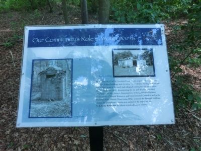
1. Our Community's Role in World War II (third marker) Marker
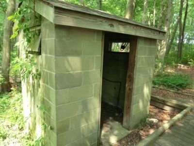
At the time that Carl M. Freeman Communities acquired the property, the remains of these building were in very poor condition. Having been unused for decades, most of the roofs had collapsed turning the site into a safety hazard. After thoroughly documenting the site and all of its associated structures, Carl M. Freeman Communities, working with the Delaware Department of Resources and Environmental Control as well as the Delaware State Historic Preservation Office removed the damaged buildings. Today, the pump house remains as a symbol of the important role the U.S. Army Site 11 played in defending our country.
Erected by The Village of Bear Trap Dunes.
Topics. This memorial is listed in this topic list: War, World II.
Location. 38° 31.5′ N, 75° 6.467′ W. Memorial is in Ocean View, Delaware, in Sussex County. It is in Baltimore Hundred. It is on October Glory Avenue. The marker is about 25 feet down the path from the road. Touch for map. Memorial is at or near this postal address: 221 October Glory Ave, Ocean View DE 19970, United States of America. Touch for directions.

Regionally,
this page online
Other nearby markers. At least 8 other markers are within 2 miles of this marker, measured as the crow flies: A different marker also named Our Community's Role in World War II (within shouting distance of this marker); a different marker also named Our Community's Role in World War II (within shouting distance of this marker); U.S. Army Radar Site 11 (within shouting distance of this marker); Nugget Hollow & G.P. Mining Co. (approx. 1½ miles away); Mariner’s Bethel United Methodist Church (approx. 1.6 miles away); Ocean View Presbyterian Church (approx. 1.7 miles away); Coastal Towns Museum (approx. 1.9 miles away); Veterans Memorial (approx. 1.9 miles away). Touch for a list and map of all markers in Ocean View.
Photographed by Don Morfe, May 29, 2013
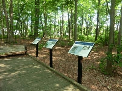
2. Our Community's Role in World War II (third marker) Marker
A photo of this marker which is the one on the far right.
Photographed by Don Morfe, May 29, 2013
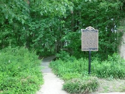
3. Our Community's Role in World War II (third marker) Marker
This photo shows the path from the road to the marker.
Photographed by Don Morfe, May 29, 2013
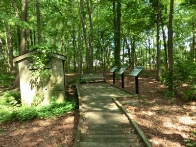
4. Our Community's Role in World War II (third marker) Marker
This photo show the three markers and the only remaining building on the site, the Pump House
Photographed by Don Morfe, May 29, 2013
5. Our Community's Role in World War II (third marker) Marker
A close up of the Pump House.
Credits. This page was last revised on June 25, 2026. It was originally submitted on July 6, 2013, by Don Morfe of Baltimore, Maryland. This page has been viewed 550 times since then and 16 times this year. Photos: 1, 2, 3, 4, 5. submitted on July 6, 2013, by Don Morfe of Baltimore, Maryland. • Bill Pfingsten was the editor who published this page.
