Marlborough in Middlesex County, Massachusetts — The American Northeast (New England)
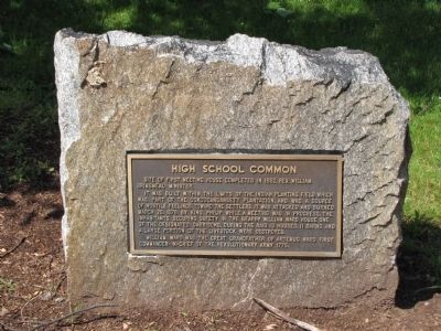
High School Common
Site of first meeting house completed in 1662, Rev. William Brimsmead Minister.
It was built within the limits of the Indian planting field which was part of the Ockoocangansett Plantation, and was a source of hostile feelings toward the settlers. It was attacked and burned March 26, 1676 by King Philip while a meeting was in progress. The inhabitants securing safety in the nearby William Ward house one of the designated garrisons. During the raid 13 houses, 11 barns and a large portion of the livestock were destroyed.
William Ward was the great grandfather of Artemus Ward first commander-in-chief of the Revolutionary Army 1775.
Topics. This historical marker is listed in these topic lists: Colonial Era • Education • Settlements & Settlers • War, US Revolutionary. A significant historical date for this entry is March 26, 1676.
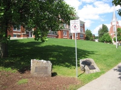
Location. 42° 20.8′ N, 71° 33.15′ W. Marker is in Marlborough, Massachusetts, in Middlesex County. Marker is at the intersection of Rawlins Avenue and Main Street (U.S. 20), on the right when traveling north on Rawlins Avenue. Touch for map. Marker is in this post office area: Marlborough MA 01752, United States of America. Touch for directions.
Other nearby markers. At least 8 other markers are within 3 miles of this marker, measured as the crow flies. Doughboy Monument (within shouting distance of this marker); Robert W. "Red" Touchette (about 300 feet away, measured in a direct line); Gen. Henry Knox Trail (about 300 feet away); Lieut Wm. Munroe Brigham Jr. Park (about 400 feet away); The Volunteer (about 400 feet away); The John Brown Bell (approx. 0.4 miles away); Williams Tavern (approx. 0.7 miles away); Mary Goodnow's Grave (approx. 2.8 miles away). Touch for a list and map of all markers in Marlborough.
Credits. This page was last revised on October 8, 2020. It was originally submitted on July 9, 2013, by Lee Hattabaugh of Capshaw, Alabama. This page has been viewed 533 times since then and 32 times this year. Photos: 1, 2. submitted on July 9, 2013, by Lee Hattabaugh of Capshaw, Alabama. • Bill Pfingsten was the editor who published this page.

