Fort Leavenworth in Leavenworth County, Kansas — The American Midwest (Upper Plains)
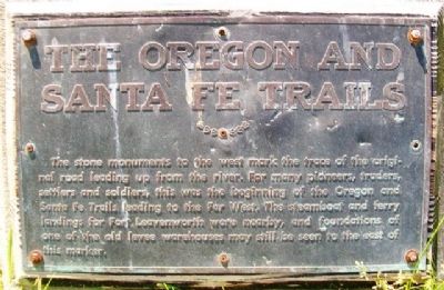
The Oregon and Santa Fe Trails
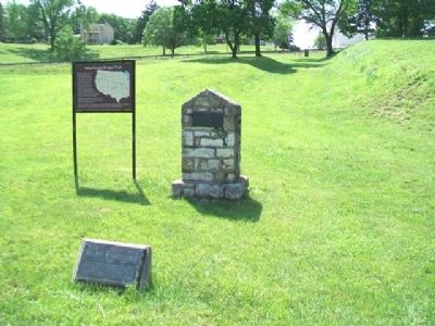
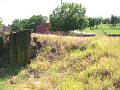
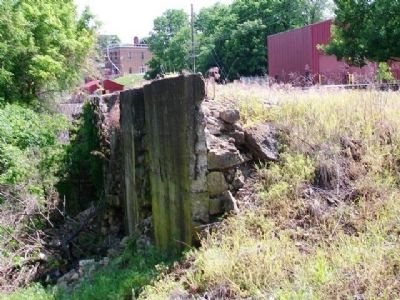
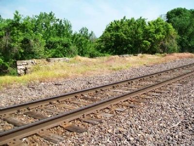
The stone monuments to the west mark the trace of the original road leading up from the river. For many pioneers, traders, settlers and soldiers, this was the beginning of the Oregon and Santa Fe Trails leading to the Far West. The steamboat and ferry landings for Fort Leavenworth were nearby, and foundations of one of the old levee warehouses may still be seen to the east of this marker.
Topics and series. This historical marker is listed in these topic lists: Forts and Castles • Industry & Commerce • Roads & Vehicles • Settlements & Settlers. In addition, it is included in the Oregon Trail, and the Santa Fe Trail series lists.
Location. 39° 21.31′ N, 94° 54.844′ W. Marker is in Fort Leavenworth, Kansas, in Leavenworth County. Marker is on Riverside Drive, on the left when traveling east. Touch for map. Marker is in this post office area: Fort Leavenworth KS 66027, United States of America. Touch for directions.
Other nearby markers. At least 8 other markers are within walking distance of this marker. Santa Fe and Oregon Trails (about 400 feet away, measured in a direct line); Leigh Hall (about 400 feet away); Zais Park (approx. 0.2 miles away); Site of Old Blockhouse (approx. 0.2 miles away); Grant (approx. 0.2 miles away); First Capital of Kansas Territory (approx. ¼ mile away); French Aid During American Revolution (approx. ¼ mile away); Site of Former Burial Ground (approx. ¼ mile away). Touch for a list and map of all markers in Fort Leavenworth.
More about this marker. Public access to the post is possible with proper identification, subject to U.S. Army regulations.
Also see . . .
1. Oregon National Historic Trail. NPS website entry (Submitted on July 14, 2013, by William Fischer, Jr. of Scranton, Pennsylvania.)
2. Santa Fe National Historic Trail. NPS website entry (Submitted on July 14, 2013, by William Fischer, Jr. of Scranton, Pennsylvania.)
3. Fort Leavenworth. US Army website entry (Submitted on July 14, 2013, by William Fischer, Jr. of Scranton, Pennsylvania.)
Credits. This page was last revised on January 13, 2022. It was originally submitted on July 14, 2013, by William Fischer, Jr. of Scranton, Pennsylvania. This page has been viewed 680 times since then and 27 times this year. Photos: 1, 2, 3, 4, 5. submitted on July 14, 2013, by William Fischer, Jr. of Scranton, Pennsylvania.
