Near Rockdale in Franklin County, Indiana — The American Midwest (Great Lakes)
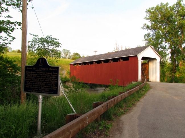
Snow Hill Covered Bridge
(Front Side)
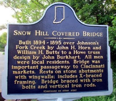
Built 1894-1895 over Johnson's Fork Creek by John H. Horn and William H. Butts to a Howe truss design by John Burkhart. All men were local residents. Bridge was important passageway to Cincinnati markets. Rests on stone abutments with wingwalls; includes X-braced framing. Bridge braced with iron bolts and vertical iron rods.
(Back Side)
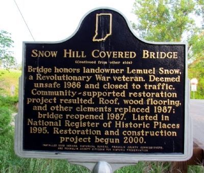
Bridge honors landowner Lemuel Snow, a Revolutionary War veteran. Deemed unsafe 1986 and closed to traffic. Community-supported restoration project resulted. Roof, wood flooring, and other elements replaced 1987; bridge reopened 1987. Listed in National Register of Historic Places 1995. Restoration and construction project begun 2000.
Erected 2005 by Indiana Historical Bureau, Franklin County Commissioners, and Franklin County Citizens for Historic Preservation. (Marker Number 24.2005.1.)
Topics and series. This historical marker is listed in this topic list: Bridges & Viaducts. In addition, it is included in the Covered Bridges, and the Indiana Historical Bureau Markers series lists. A significant historical year for this entry is 1986.
Location. 39° 19.538′ N, 84° 51.134′ W. Marker is near Rockdale, Indiana, in Franklin County. Marker is on Snow Hill Road , 0.1 miles west of Johnson Fork Road, on the right when traveling west. Touch for map. Marker is in this post office area: West Harrison IN 47060, United States of America. Touch for directions.
Other nearby markers. At least 8 other markers are within 5 miles of this marker, measured as the crow flies. New Trenton (approx. 2.8 miles away); Lester “Marvelo” Lake (approx. 2.8 miles away); Birthplace of William Bebb (approx. 4 miles away in Ohio); Othniel Looker Home (approx. 4½ miles away in Ohio); General John Morgan (approx. 4.7 miles away); High Water Mark (approx. 4.7 miles away); Harrison (approx. 4.8 miles away in Ohio); P.F.C. William B. Baugh, U.S.M.C. (approx. 4.8 miles away in Ohio).
Also see . . . IHB Annotations. The Indiana Historical Bureau provides annotations for the text of the marker on their website. (Submitted on July 19, 2013, by Duane Hall of Abilene, Texas.)
Credits. This page was last revised on June 16, 2016. It was originally submitted on July 19, 2013, by Duane Hall of Abilene, Texas. This page has been viewed 635 times since then and 16 times this year. Photos: 1, 2, 3. submitted on July 19, 2013, by Duane Hall of Abilene, Texas. • Bill Pfingsten was the editor who published this page.


