Near Rising Sun in Ohio County, Indiana — The American Midwest (Great Lakes)
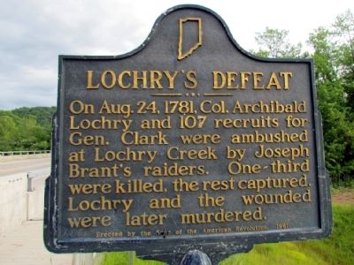
Lochry's Defeat
Erected 1961 by Sons of the American Revolution. (Marker Number 58.1961.1.)
Topics and series. This historical marker is listed in this topic list: War, US Revolutionary. In addition, it is included in the Indiana Historical Bureau Markers, and the Sons of the American Revolution (SAR) series lists. A significant historical month for this entry is August 1845.
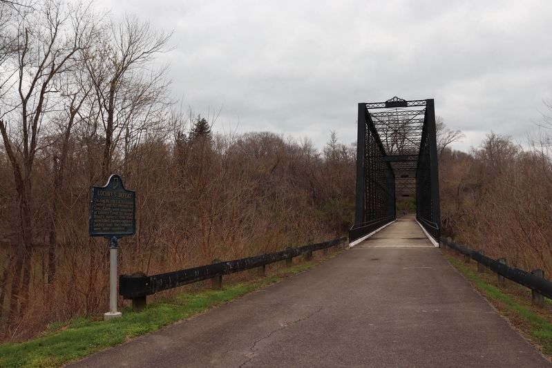
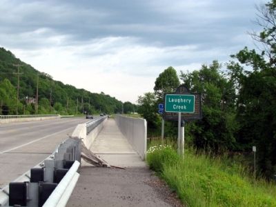
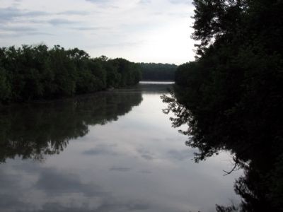
Location. 39° 1.441′ N, 84° 53.136′ W. Marker is near Rising Sun, Indiana, in Ohio County. Marker is on Old State Road 56, 0.2 miles north of Hartford Pike, on the left when traveling north. The marker stands at the Triple Whipple bridge crossing Laughery Creek just south of the the Ohio & Dearborn County line. Touch for map. Marker is at or near this postal address: 10405 Old State Rd 56, Aurora IN 47001, United States of America. Touch for directions.
Other nearby markers. At least 8 other markers are within 2 miles of this marker, measured as the crow flies. In Memory of Col. Archibald Lochry (about 600 feet away, measured in a direct line); Lochry Massacre Memorial (about 700 feet away); a different marker also named Lochry Massacre Memorial (about 700 feet away); Site of Lochry's Defeat (about 700 feet away); A Historic Road Less Traveled (approx. ¼ mile away); A Lavish Landscape (approx. 0.3 miles away); River View Cemetery (approx. 0.3 miles away); Aurora Ferry Boat Captains (approx. 1½ miles away).
More about this marker. The marker can be seen on the Foot traffic only path at the end of Old State Road 56
Also see . . . Lochry's Defeat - Wikipedia. (Submitted on July 22, 2013, by Bill Pfingsten of Bel Air, Maryland.)
Credits. This page was last revised on April 1, 2024. It was originally submitted on July 21, 2013, by Duane Hall of Abilene, Texas. This page has been viewed 1,195 times since then and 81 times this year. Last updated on March 29, 2024, by Trevor L Whited of Kokomo, Indiana. Photos: 1. submitted on July 21, 2013, by Duane Hall of Abilene, Texas. 2. submitted on March 29, 2024, by Trevor L Whited of Kokomo, Indiana. 3, 4. submitted on July 21, 2013, by Duane Hall of Abilene, Texas. • Devry Becker Jones was the editor who published this page.


