Montour Falls in Schuyler County, New York — The American Northeast (Mid-Atlantic)
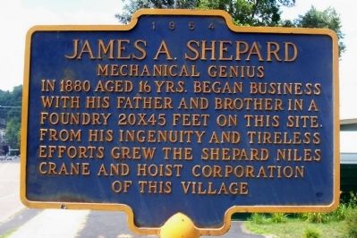
James A. Shepard
Erected 1954.
Topics. This historical marker is listed in this topic list: Industry & Commerce. A significant historical year for this entry is 1880.
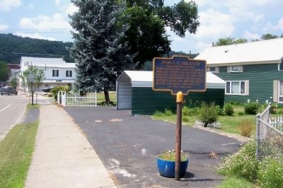
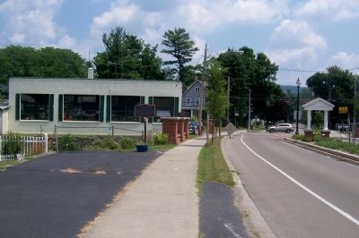
Location. 42° 20.83′ N, 76° 50.746′ W. Marker is in Montour Falls, New York, in Schuyler County. Marker is on 2 W. Main Street west of Catherine Street (New York State Route 14), on the right when traveling west. Touch for map. Marker is in this post office area: Montour Falls NY 14865, United States of America. Touch for directions.
Other nearby markers. At least 8 other markers are within walking distance of this marker. Catherine's Landing (a few steps from this marker); David Bennett Hill (within shouting distance of this marker); Brick Tavern Stand (about 300 feet away, measured in a direct line); Montour Falls (approx. 0.2 miles away); Montour House (approx. 0.2 miles away); Montour Falls Memorial Library (approx. 0.2 miles away); She-Qua-Ga (approx. ¼ mile away); Chemung Canal (approx. 0.4 miles away). Touch for a list and map of all markers in Montour Falls.
Credits. This page was last revised on June 16, 2016. It was originally submitted on July 22, 2013, by Forest McDermott of Masontown, Pennsylvania. This page has been viewed 701 times since then and 37 times this year. Photos: 1, 2, 3. submitted on July 22, 2013, by Forest McDermott of Masontown, Pennsylvania. • Bill Pfingsten was the editor who published this page.


