Near Elmira in Chemung County, New York — The American Northeast (Mid-Atlantic)
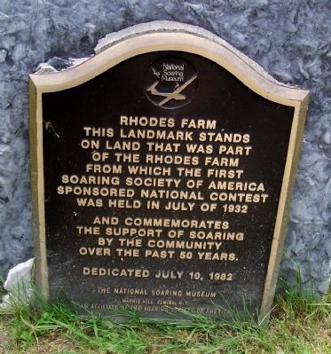
Rhodes Farm
National Landmark of Soaring
Photographed by Forest McDermott, July 16, 2013
1. Rhodes Farm Marker
Erected 1982 by The National Soaring Museum, Harris Hill, Elmira, N.Y., an affiliate of the Soaring Society of America.
Topics. This historical marker is listed in this topic list: Air & Space. A significant historical month for this entry is July 1932.
Location. 42° 7.486′ N, 76° 54.191′ W. Marker is near Elmira, New York, in Chemung County. It is on Harris Hill Road just north of Soaring Hill Drive, on the right when traveling north. At the entrance to the Harris Hill Gliderport and the National Soaring Museum. Touch for map. Marker is in this post office area: Elmira NY 14903, United States of America. Touch for directions.

Regionally, this marker is in Upstate New York and in the Southern Tier. It is also in the American Northeast, in the Mid-Atlantic, in Appalachia, and specifically in Northern Appalachia. Globally, it is in North America, the Western
this page online
Other nearby markers. At least 8 other markers are within 4 miles of this marker, measured as the crow flies: Harris Hill (approx. 0.3 miles away); World War II Glider Training at Harris Hill (approx. 0.3 miles away); Runonvea (approx. 1.4 miles away); William Mapes (approx. 1.8 miles away); Miller Cemetery (approx. 1.8 miles away); First Settler (approx. 2.1 miles away); World War II Memorial (approx. 3.9 miles away); World War Memorial (approx. 3.9 miles away). Touch for a list and map of all markers in Elmira.
Photographed by Forest McDermott, July 16, 2013
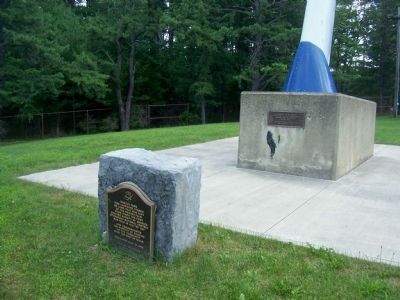
2. Rhodes Farm Marker
Photographed by Forest McDermott, July 16, 2013
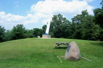
3. Rhodes Farm Marker
Rhodes Farm Marker is stone in the center and Rufus Stanley marker is in the right bottom of the photo.
Photographed by Forest McDermott, July 16, 2013
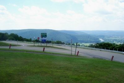
4. View from the Rhodes Farm
The end of the airfield for Harris Hill is on the left of the photo and the Chemung River and valley is below looking out from the marker location.
Credits. This page was last revised on April 19, 2024. It was originally submitted on July 23, 2013, by Forest McDermott of Masontown, Pennsylvania. This page has been viewed 871 times since then and 42 times this year. Photos: 1, 2, 3, 4. submitted on July 23, 2013, by Forest McDermott of Masontown, Pennsylvania. • Bill Pfingsten was the editor who published this page.
