Radford, Virginia — The American South (Mid-Atlantic)
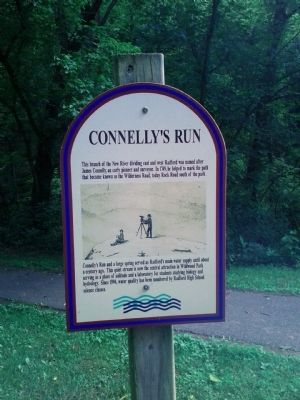
Connelly's Run
This branch of the New River dividing east and west Radford was named after James Connelly, an early pioneer and surveyor. In 1749, he helped to mark the path that became known as the Wilderness Road, today Rock Road south of the Park.
Connelly's Run and a large spring served as Radford's main water supply until about a century ago. This quiet stream is now the central attraction in Wildwood Park serving as a place of solitude and a laboratory for students studying biology and hydrology. Since 1994, water quality has been monitored by Radford High School science classes.
Topics. This historical marker is listed in these topic lists: Exploration • Settlements & Settlers. A significant historical year for this entry is 1749.
Location. 37° 7.944′ N, 80° 33.978′ W. Marker is in Radford, Virginia. Marker is on Wildwood Park Drive, 0.4 miles south of East Main Street (U.S. 11), on the left when traveling south. Marker is in Wildwood Park. Wildwood Park Drive is publicly open to bike and foot traffic. Touch for map. Marker is in this post office area: Radford VA 24141, United States of America. Touch for directions.
Other nearby markers. At least 8 other markers are within walking distance of this marker. Wildwood Pool (about 700 feet away, measured in a direct line); Starnes (approx. 0.4 miles away); High Water Mark (approx. half a mile away); Native American Village Site (approx. half a mile away); Montgomery County / Pulaski County (approx. ¾ mile away); The City by the River (approx. 0.8 miles away); The New River (approx. 0.8 miles away); New River Bridge (approx. 0.8 miles away). Touch for a list and map of all markers in Radford.
Also see . . . Welcome to Wildwood Park. Park website homepage (Submitted on February 28, 2022, by Larry Gertner of New York, New York.)
Credits. This page was last revised on February 28, 2022. It was originally submitted on July 29, 2013, by Mike Waldon of Lafayette, Louisiana. This page has been viewed 742 times since then and 53 times this year. Photo 1. submitted on July 29, 2013, by Mike Waldon of Lafayette, Louisiana. • Bernard Fisher was the editor who published this page.
