Near San Acacia in Socorro County, New Mexico — The American Mountains (Southwest)
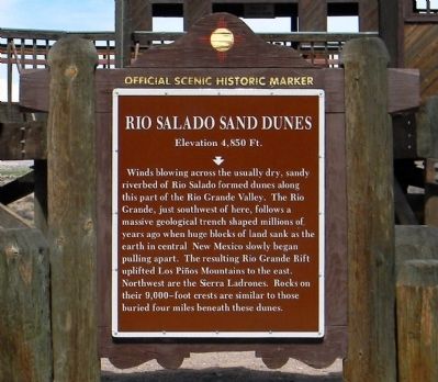
Rio Salado Sand Dunes
Elevation 4,850 ft.
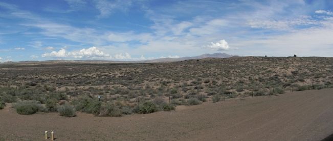
Winds blowing across the usually dry, sandy riverbed of Rio Salado formed dunes along this part of the Rio Grande Valley. The Rio Grande, just southwest here, follows a massive geological trench shaped millions of years ago when huge blocks of land sank as the earth in central New Mexico slowly began pulling apart. The resulting Rio Grande Rift uplifted Los Piños Mountains to the east. Northwest are the Sierra Ladrones. Rocks on their 9,000–foot crests are similar to those buried four miles beneath these dunes.
Erected by New Mexico Historic Preservation Division.
Topics. This historical marker is listed in this topic list: Natural Features.
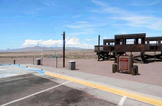
Location. 34° 18.324′ N, 106° 53.432′ W. Marker is near San Acacia, New Mexico, in Socorro County. Marker can be reached from CanAm Highway (Interstate 25 at milepost 166), on the right when traveling south. The marker is southbound rest area on Interstate 25 at Mile 166. Touch for map. Marker is in this post office area: San Acacia NM 87831, United States of America. Touch for directions.
Other nearby markers. At least 6 other markers are within 13 miles of this marker, measured as the crow flies. Doña Eufemia (within shouting distance of this marker); a different marker also named Rio Salado Sand Dunes (approx. 0.2 miles away); Acomilla (approx. 0.2 miles away); La Joya de Sevilleta (approx. 3.8 miles away); Sabino y Lemitar (approx. 10.3 miles away); Las Nutrias (approx. 13 miles away).
Credits. This page was last revised on June 19, 2022. It was originally submitted on August 1, 2013, by PaulwC3 of Northern, Virginia. This page has been viewed 938 times since then and 68 times this year. Photos: 1, 2. submitted on August 1, 2013, by PaulwC3 of Northern, Virginia. 3. submitted on July 28, 2013, by PaulwC3 of Northern, Virginia.


