Queenstown in Queen Anne's County, Maryland — The American Northeast (Mid-Atlantic)
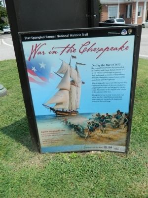
War in the Chesapeake
Star-Spangled Banner National Historic Trail
— National Park Service, U.S. Department of the Interior —
During the War of 1812 the young United States was embroiled in conflict with Great Britain. From 1812 to 1815 Americans fought to protect their rights and economic independence. They faced superior enemy forces on the homefront and the high seas.
The strategically important Chesapeake Bay region felt the brunt of the war, choked by shipping blockades and ravaged by enemy raids. The evens in this region were crucial to the outcome of the war.
Though there was no clear victor at the end of the war, the United States protected its democracy and emerged with heightened stature on the world stage.
Erected by National Park Service, U.S. Department of the Interior.
Topics. This historical marker is listed in this topic list: War of 1812. A significant historical year for this entry is 1812.
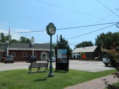
Location. 38° 59.433′ N, 76° 9.456′ W. Marker is in Queenstown, Maryland, in Queen Anne's County. Marker is at the intersection of Main Street and Del Rhodes Ave. on Main Street. Touch for map. Marker is in this post office area: Queenstown MD 21658, United States of America. Touch for directions.
Other nearby markers. At least 8 other markers are within 2 miles of this marker, measured as the crow flies. Surprise at Queenstown (here, next to this marker); Colonial Courthouse (a few steps from this marker); Queenstown (a few steps from this marker); Bowlingly (about 500 feet away, measured in a direct line); a different marker also named Bowlingly (about 500 feet away); “Lord’s Gift” (approx. 0.4 miles away); St. Peter’s Church (approx. 1.6 miles away); Battle of Slippery Hill (approx. 1.8 miles away). Touch for a list and map of all markers in Queenstown.
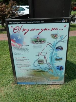
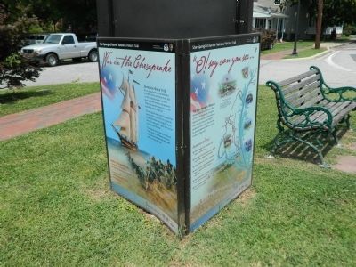
More about this marker. Three-sided marker, with "Oh Say Can You See" and "Surprise at Queenstown"
Credits. This page was last revised on April 16, 2024. It was originally submitted on August 3, 2013, by Nathan Davidson of Salisbury, Maryland. This page has been viewed 672 times since then and 18 times this year. Photos: 1, 2, 3, 4. submitted on August 3, 2013, by Nathan Davidson of Salisbury, Maryland. • Bill Pfingsten was the editor who published this page.


