Near Seaford in Sussex County, Delaware — The American Northeast (Mid-Atlantic)
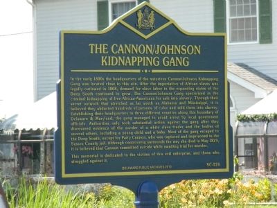
The Cannon / Johnson Kidnapping Gang
In the early 1800s the headquarters of the notorious Cannon/Johnson Kidnapping Gang was located close to this site. After the importation of African slaves was legally outlawed in 1808, demand for slave labor in the expanding states of the Deep South continued to grow. The Cannon/Johnson Gang specialized in the criminal kidnapping of free African-Americans for sale into slavery. Through their secret network that stretched as far south as Alabama and Mississippi, it is believed they abducted hundreds of persons of color and sold them into slavery. Establishing their headquarters in three different counties along this boundary of Delaware & Maryland, the gang managed to avoid arrest by local government officials. Authorities only took substantial action against the gang after they discovered evidence of the murder of a white slave trader and the bodies of several others, including a young child and a baby. Most of the gang escaped to the Deep South, except for Patty Cannon, who was captured and imprisoned in the Sussex County jail. Although controversy surrounds the way she died in May 1829, it is believed that Cannon committed suicide while awaiting trial for murder. This memorial is dedicated to the victims of this evil enterprise, and those who struggled against it.
Erected 2012 by Delaware Public Archives. (Marker Number SC-228.)
Topics and series. This historical marker is listed in these topic lists: African Americans • Industry & Commerce • Law Enforcement. In addition, it is included in the Delaware Public Archives series list. A significant historical month for this entry is May 1829.
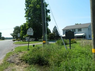
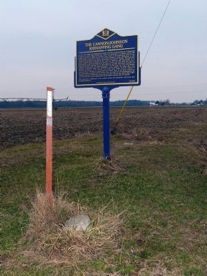
Location. 38° 38.117′ N, 75° 42.433′ W. Marker is near Seaford, Delaware, in Sussex County. Marker is on West Stein Highway (Delaware Route 20). Touch for map. Marker is at or near this postal address: 25701 Line Rd, Seaford DE 19973, United States of America. Touch for directions.
Other nearby markers. At least 8 other markers are within 5 miles of this marker, measured as the crow flies. Nearby Stood Patty Cannon's House (within shouting distance of this marker in Maryland); Oak Grove Crownstone (approx. 2.9 miles away); Woodland School (approx. 3.2 miles away); Bethel Church (approx. 3.4 miles away); The Tina Fallon (approx. 3.6 miles away); Woodland United Methodist Church (approx. 3.6 miles away); Woodland Ferry (approx. 3.7 miles away); Stein Highway (approx. 4.2 miles away). Touch for a list and map of all markers in Seaford.
Also see . . . Slave Kidnapping Marker on Maryland Delaware Line. US Slave blog entry (Submitted on January 12, 2022, by Larry Gertner of New York, New York.)
Additional keywords. Human trafficking
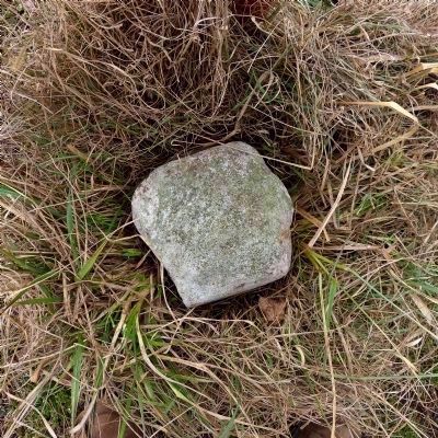
Photographed By Allen C. Browne, February 9, 2014
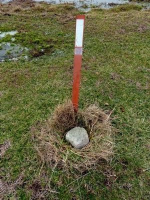
5. Mason-Dxion Tangent Line Stone 12
The stone marks the boundary between Maryland and Delaware. Legendarily, Patty Cannon's house straddled the boundary enabling her to evade the jurisdiction of both Delaware and Maryland authorities by slipping across the boundary line without leaving her own house.
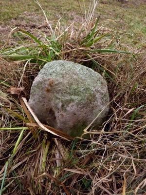
Photographed By Allen C. Browne, February 9, 2014
6. Mason-Dixon Tangent Stone 12
These boundary markers were made of oolitic limestone imported from England. They had the letters M and P carved into them to indicate Maryland and (the three lower counties of) Pennsylvania. Crownstones like the nearby Oak Grove Crownstone were placed every five miles.
Credits. This page was last revised on September 17, 2022. It was originally submitted on August 3, 2013, by Nathan Davidson of Salisbury, Maryland. This page has been viewed 1,328 times since then and 85 times this year. Photos: 1, 2. submitted on August 3, 2013, by Nathan Davidson of Salisbury, Maryland. 3, 4, 5, 6. submitted on February 13, 2014, by Allen C. Browne of Silver Spring, Maryland. • Bill Pfingsten was the editor who published this page.
