Wadsworth in Washoe County, Nevada — The American Mountains (Southwest)
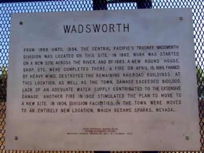
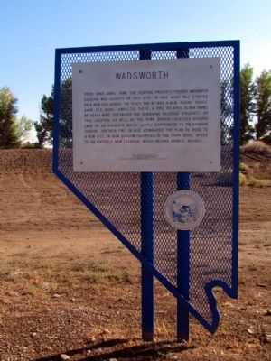
Wadsworth
Erected by Nevada State Park System and Thomson Chapter No. 1827, E. Clampus Vitus. (Marker Number 68.)
Topics and series. This historical marker is listed in these topic lists: Railroads & Streetcars • Settlements & Settlers. In addition, it is included in the E Clampus Vitus series list. A significant historical month for this entry is April 2005.
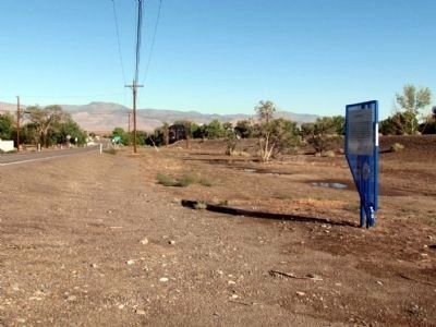
Location. 39° 37.856′ N, 119° 16.751′ W. Marker is in Wadsworth, Nevada, in Washoe County. Marker is on Main Street (Nevada Route 427) west of Lincoln Highway, on the right when traveling west. Touch for map. Marker is in this post office area: Wadsworth NV 89442, United States of America. Touch for directions.
Other nearby markers. At least 7 other markers are within 17 miles of this marker, measured as the crow flies. Rush to the River (approx. 2.8 miles away); The First Drink of Cold Water (approx. 3.6 miles away); The Dwight D. Eisenhower Highway (approx. 3.6 miles away); Olinghouse (approx. 3.6 miles away); Truckee Trail - River Crossings (approx. 3.6 miles away); America's First Transcontinental Highway (approx. 3.8 miles away); Williams Station (approx. 16.3 miles away).
Also see . . . New Amended Text for Marker. The Nevada State Historic Preservation Office (SHPO) recently updated the text of the roughly 260 state historical markers in Nevada. The Nevada SHPO placed the amended text of each individual marker on its website and will change the actual markers in the field as funding allows. The marker was amended to add, "Another fire in 1902 stimulated the plan to move to a new site." The link will take you to the Nevada SHPO page for the marker with the amended text. (Submitted on November 12, 2013, by Duane Hall of Abilene, Texas.)
Credits. This page was last revised on June 16, 2016. It was originally submitted on August 3, 2013, by Duane Hall of Abilene, Texas. This page has been viewed 693 times since then and 74 times this year. Photos: 1, 2, 3. submitted on August 3, 2013, by Duane Hall of Abilene, Texas.


