Wagener in Aiken County, South Carolina — The American South (South Atlantic)
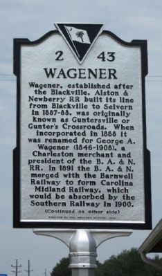
Wagener
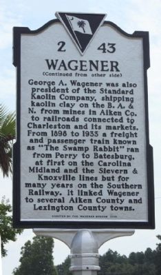
(Reverse text)
George A. Wagener was also president of the Standard Kaolin Company, shipping kaolin clay on the B. A. & N. from mines in Aiken Co. to railroads connected to Charleston and its markets. From 1898 to 1933 a freight and passenger train known as “The Swamp Rabbit” ran from Perry to Batesburg, at first on the Carolina Midland and the Sievern & Knoxville lines but for many years on the Southern Railway. It linked Wagener to several Aiken County and Lexington County towns.
Erected 2013 by The Wagener Museum. (Marker Number 2-43.)
Topics. This historical marker is listed in these topic lists: Industry & Commerce • Railroads & Streetcars. A significant historical year for this entry is 1888.
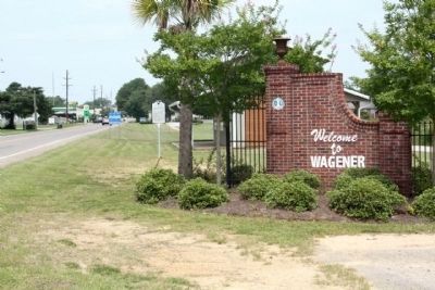
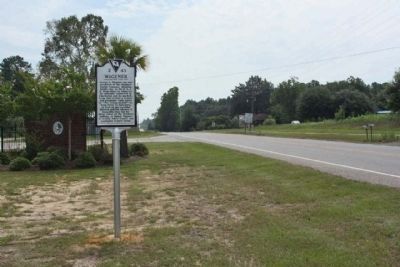
Location. 33° 38.931′ N, 81° 21.386′ W. Marker is in Wagener , South Carolina, in Aiken County. Marker is on Railroad Avenue E (State Highway 39) near Park Street NE, on the right when traveling west. Touch for map. Marker is in this post office area: Wagener SC 29164, United States of America. Touch for directions.
Other nearby markers. At least 8 other markers are within 7 miles of this marker, measured as the crow flies. Wagener Memorial Monument (approx. 0.3 miles away); Wagener Museum (approx. 0.4 miles away); The Crawfords Memorial (approx. 2 miles away); Commemorative Memorial (approx. 2.9 miles away); Indian Head / The Middle Road (approx. 3.9 miles away); Old Indian Trail (approx. 5― miles away); The Salley Family (approx. 6.4 miles away); Capt. Dempsey Hammond Salley (approx. 6.4 miles away). Touch for a list and map of all markers in Wagener.
More about this marker. Although typed and casted for 2010, marker was erected in 2013
Credits. This page was last revised on June 16, 2016. It was originally submitted on August 6, 2013, by Mike Stroud of Bluffton, South Carolina. This page has been viewed 995 times since then and 30 times this year. Photos: 1, 2, 3, 4. submitted on August 6, 2013, by Mike Stroud of Bluffton, South Carolina.


