
Yamacraw Village in Savannah in Chatham County, Georgia — The American South (South Atlantic)
Savannah Besieged
Photographed by Bill Coughlin, August 5, 2013
1. Savannah Besieged Marker
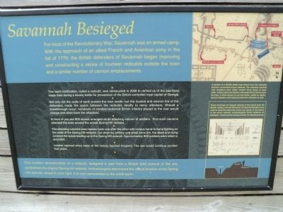
For most of the Revolutionary War, Savannah was an armed camp. With the approach of an allied French and American army in the fall of 1779, the British defenders of Savannah began improving and constructing a series of fourteen redoubts outside the town and a similar number of cannon emplacements.
this page online
Topics. This historical marker is listed in this topic list: War, US Revolutionary. A significant historical year for this entry is 1779.
Location. 32° 4.539′ N, 81° 5.975′ W. Marker is in Savannah, Georgia, in Chatham County. It is in Yamacraw Village. It can be reached from the intersection of Martin Luther King Blvd. and Louisville Road, on the right when traveling south. Marker is located in Tricentennial Park. Touch for map. Marker is in this post office area: Savannah GA 31401, United States of America. Touch for directions.

Regionally, this marker is in the Coastal Plain and on the Georgia Coast and the Golden Isles. It is also in the American
Photographed by Bill Coughlin, August 5, 2013
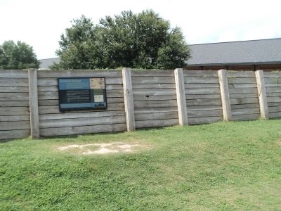
2. Savannah Besieged Marker
Other nearby markers. At least 8 other markers are within walking distance of this marker: The Battle of Savannah (within shouting distance of this marker); Central of Georgia (within shouting distance of this marker); a different marker also named Battle of Savannah (within shouting distance of this marker); Attack on British Lines (within shouting distance of this marker); Great Indian Warrior / Trading Path (within shouting distance of this marker); Lt. Joseph Lawton (about 300 feet away, measured in a direct line); Major General Anthony Wayne (about 300 feet away); Charles Pidcock (about 300 feet away). Touch for a list and map of all markers in Savannah.
More about this marker. A map at the upper right of the marker
Photographed by Bill Coughlin, August 5, 2013
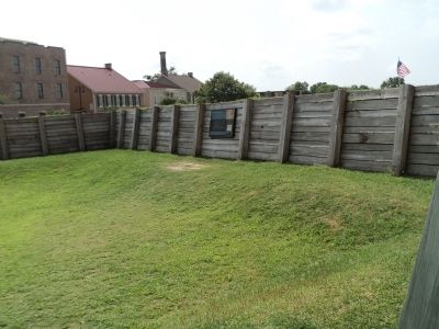
3. Marker Inside Redoubt
Below this is an illustration that has a caption of “These drawings of a typical redoubt of the period from the British military manual Elements of Field Fortification were used to build the memorial where you stand. In the trench of the actual redoubt, archeologists found evidence of palisades – vertical posts making a barrier for attacking forces.”
Also see . . . The Battle of Savannah. American Revolutionary War entry (Submitted on August 8, 2013, by Bill Coughlin of Woodland Park, New Jersey.)
Photographed by Bill Coughlin, August 5, 2013
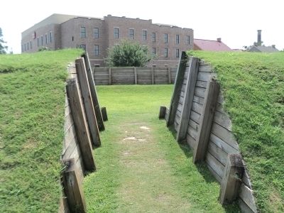
4. Entrance to the Redoubt
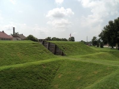
Photographed by Bill Coughlin, August 5, 2013
5. Redoubt Viewed from Outside
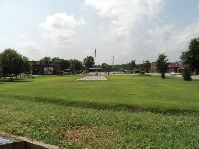
Photographed by Bill Coughlin, August 5, 2013
6. "Stone" Attackers of the Redoubt
The stones representing the attacking columns of soldiers are seen here from inside the redoubt. A monument marking the actual location of the Spring Hill Redoubt is visible on the right.
Credits. This page was last revised on February 8, 2023. It was originally submitted on August 8, 2013, by Bill Coughlin of Woodland Park, New Jersey. This page has been viewed 954 times since then and 42 times this year. Photos: 1, 2, 3, 4, 5, 6. submitted on August 8, 2013, by Bill Coughlin of Woodland Park, New Jersey.
