Springfield in Brown County, Minnesota — The American Midwest (Upper Plains)
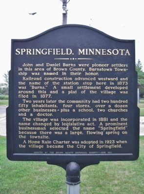
Springfield, Minnesota
Railroad construction advanced westward and the name of the station stop here in 1873 was "Burns." A small settlement developed around this and a plat of the village was filed in 1877.
Two years later the community had two hundred fifty inhabitants, four stores, over a dozen other businesses - plus a school, two churches and a doctor.
The village was incorporated in 1881 and the name changed by legislative act. A prominent businessman selected the name "Springfield" because there was a large, flowing spring on the townsite.
A Home Rule Charter was adopted in 1923 when the village became the City of Springfield.
Erected 1981 by the Brown County Historical Society.
Topics. This historical marker is listed in these topic lists: Railroads & Streetcars • Settlements & Settlers. A significant historical month for this entry is June 1981.
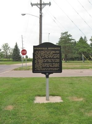
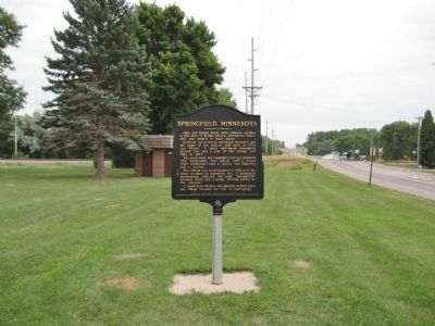
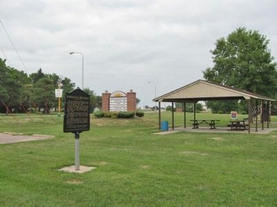
Location. 44° 14.601′ N, 94° 58.019′ W. Marker is in Springfield, Minnesota, in Brown County. Marker is at the intersection of East End Avenue (County Highway 5) and East Rock Street (U.S. 14) on East End Avenue. Marker is at East End Park. Touch for map. Marker is in this post office area: Springfield MN 56087, United States of America. Touch for directions.
Other nearby markers. At least 8 other markers are within 9 miles of this marker, measured as the crow flies. Veterans Memorial (approx. half a mile away); a different marker also named Veterans Memorial (approx. 1.1 miles away); Jonathan Brown and the Shetek Trail (approx. 2.2 miles away); Cobden (approx. 6˝ miles away); The Attack on the Brown Family (approx. 7.3 miles away); Leavenworth (approx. 8.2 miles away); Sanborn, Minnesota Veterans Memorial (approx. 8.4 miles away); Jackson Crossing (approx. 8˝ miles away). Touch for a list and map of all markers in Springfield.
Also see . . .
1. City of Springfield, Minnesota. (Submitted on August 11, 2013.)
2. Springfield, Minnesota. Wikipedia entry. "The town was often mentioned on Little House on the Prairie as the town to which Charles Ingalls would frequently go for his 'business travels.'" (Submitted on August 11, 2013.)
Credits. This page was last revised on June 16, 2016. It was originally submitted on August 11, 2013, by Keith L of Wisconsin Rapids, Wisconsin. This page has been viewed 849 times since then and 41 times this year. Photos: 1, 2, 3, 4. submitted on August 11, 2013, by Keith L of Wisconsin Rapids, Wisconsin.


