Steinhatchee in Taylor County, Florida — The American South (South Atlantic)
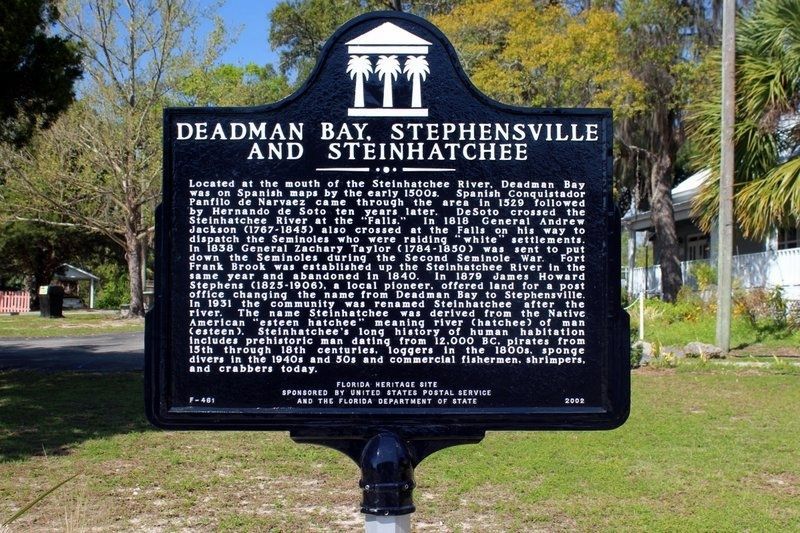
Deadman Bay, Stephensville and Steinhatchee
Located at the mouth of the Steinhatchee River, Deadman Bay was on Spanish maps by the early 1500s. Spanish Conquistador Panfilo de Narvaez came through the area in 1529 followed by Hernando de Soto ten years later. DeSoto crossed the Steinhatchee River at the "Falls." In 1818 General Andrew Jackson (1767-1845) also crossed at the Falls on his way to dispatch the Seminoles who raiding "white" settlements. In 1838 General Zachary Taylor (1784-1850) was sent to put down the Seminoles during the Second Seminole War. Fort Frank Brook was established up the Steinhatchee River in the same year and abandoned in 1840. In 1879 James Howard Stephens (1825-1906), a local pioneer, offered land for a post office changing the name from Deadman Bay to Stephensville. In 1931 the community was renamed Steinhatchee after the river. The name Steinhatchee was derived from the native American "esteen hatchee" meaning river (hatchee) of man (esteen). Steinhatchee's long history of human habitation includes prehistoric man dating from 12,000 BC, pirates from 15th through 18th centuries, loggers in the 1800s, sponge divers in the 1940s and 50s and commercial fishermen, shrimpers, and crabbers today.
Florida Heritage Site
Erected 2002 by United States Postal Service and the Florida Department of State. (Marker Number F-461.)
Topics and series. This historical marker is listed in this topic list: Settlements & Settlers. In addition, it is included in the Former U.S. Presidents: #07 Andrew Jackson, and the Former U.S. Presidents: #12 Zachary Taylor series lists. A significant historical year for this entry is 1529.
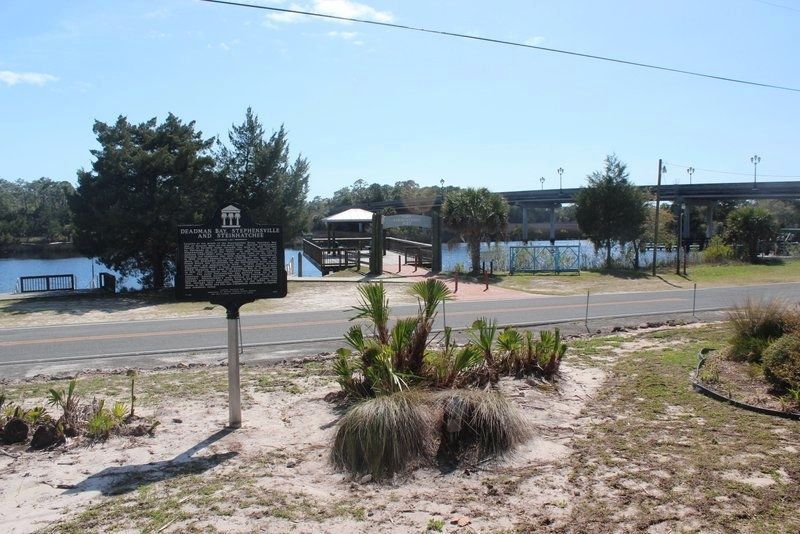
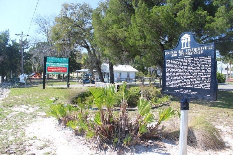
Location. 29° 40.115′ N, 83° 22.637′ W. Marker is in Steinhatchee, Florida, in Taylor County. Marker is at the intersection of Riverside Drive (State Road 51) and 11th Street East, on the right when traveling west on Riverside Drive. Located in Steinhatchee Park, just west of 11th Street East. Touch for map. Marker is in this post office area: Steinhatchee FL 32359, United States of America. Touch for directions.
Other nearby markers. At least 1 other marker is within 15 miles of this marker, measured as the crow flies. The Jackson Trail (approx. 14.6 miles away).
Credits. This page was last revised on March 25, 2021. It was originally submitted on August 13, 2013, by Tim Fillmon of Webster, Florida. This page has been viewed 1,451 times since then and 104 times this year. Photos: 1, 2, 3. submitted on March 25, 2021, by Tim Fillmon of Webster, Florida. • Bernard Fisher was the editor who published this page.


